Winter Traveling, 2013-2014
Page 2

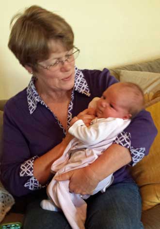
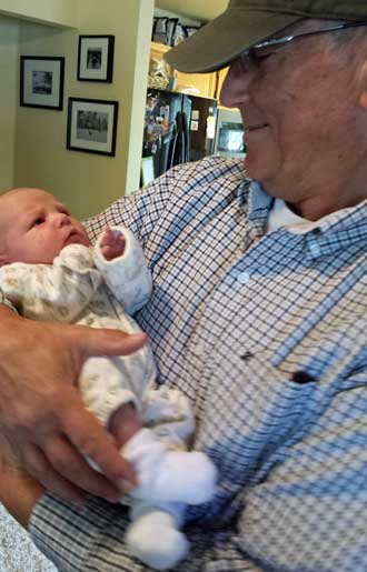
Thursday, March 13, 2014: On our trip out of town, we made one last visit. This time Gwen got to entertain Lucy. Click the photo to see the four generations, my mother, my daughter and my granddaughter.
Wednesday, March 12, 2014: Visiting some more the Lucy to get our fill before we must return to Lodi. Great Grandma is holding Lucy as much as possible. Click the photo for Great Grandma.
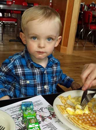
Tuesday, March 11, 2014: This was a fun day with Noah, my 2-1/2 year old grandson. He loves waffles and cleaned up on this one. Later in the afternoon we played about two dozen games and/or puzzles together. He is sharp as a tack and showed me how to play each of the games. I love his plaid shirt, he takes after his Dad and me. Click the photo to see one of the games we played.
 |
 |
 |
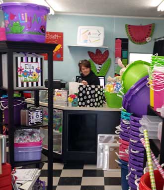
Sunday, March 9, 2014: After church I found the perfect gifts for the grandkids. Gwen, Mom and I are driving to Reno tomorrow to meet our newest granddaughter, Lucy Harper and visit with all the grandkids. Of course I must arrive with the perfect gifts so I found this creative little shop in downtown Lodi. The owner personalizes gifts so I bought lunch pales for Chloe and Noah and a craft box for Lucy (she's only three weeks old so it will be a while before she uses it but Mom can use it now for Lucy items). Click the photo to see what I bought.
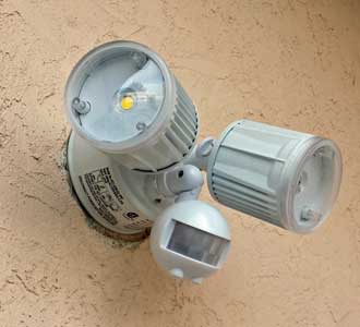
Saturday, March 8, 2014: This was my chore for the day. It should have been easy to install a motion sensor light where an existing light was installed. I took off the existing light and saw two black wires connected to the old fixture. It was not working. I tested the wires with a circuit tester and found a faint current so decided to install the new fixture. It didn't work. I checked the switch and found good current to the switch and to the black wire out of the switch. I found two white wires taped together in the electrical box, unwrapped them and found good current on one black wire to one white wire. Who would have wired the previous fixture with two black wires and why? Much in this old house is a mystery. I connected the new motion sensor correctly to one black and one white wire, now it works as it should. Click the photo for the night time view.
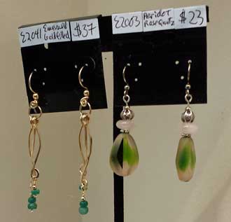
Friday, March 7, 2014: The first Friday art walk in Lodi tonight with my sister Dorana, her partner, Robin, my mother and Gwen. Mostly walking through Lodi to the few open stores viewing the arts and crafts on display and sampling the very good appetizers each store offered. This was dinner for the night. Gwen actually bought a cute purse at one shop and I bought a used book for myself (Ansel Adams, Yosemite) and a used book for my oldest Grand-daughter (a stained glass coloring book of butterflies). These books were sold at the "friends of the library" room when we visited the art display at the library. The photo at left is an earring design (the set on the left) I wanted to remember because I believe I can do it. Click to see behind that photo. The Double-Dip Gallery, and ice cream and art gallery. We visited many stores for free food and saw no one buying. At the Double-Dip Gallery, there was NO free food but a line of those buying a scope of ice cream. Something is not right about that.
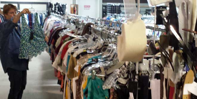 Thursday, March 6, 2014: While Mom is off having fun with her girlfriends, Gwen and I hit downtown Lodi, Gwen's goal is the multitude of thrift shops. She thinks Lodi is a community with money so the items in the thrift shops should be brand names and of good quality. I visited the model railroad store. It has a huge inventory and they are always working on a new project. We continued on down the street to our favorite bead store. Click the thrift shop photo to see Gwen shopping at the bead store. We are good window shoppers, I didn't buy anything and Gwen bought only a couple of items.
  |
 |
 |
 |
 |
 |
 |
 |
 |
 |
 |
 |
 |
 |
 |
 |
 |
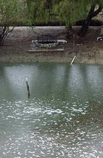 |
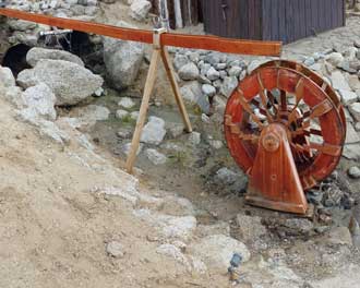
Friday, February 28, 2014: California has been suffering from a severe drought so when a few clouds started to appear in the Pacific the local weathermen began to talk about them a week in advance of the storm. They continued to make promises and forecasts all week, enough so that areas around a recent brush fire were evacuated because mudslides were predicted. Jojoba Hills Park has a plan for water drainage with a well engineered storm drain system. The storm brought 2.6 inches of rain to the park over a 36 hour period but the system handled it well. The photo at left is one of the many ponds in the park before the storm arrived. Here is a better photo showing the drain used when the pond gets full. The photo at right shows the pond full and the drain at work. This overflowing pond drains down the mountain into a creek flowing west. | 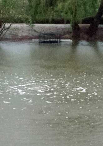 |
 |
 |
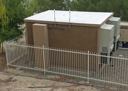
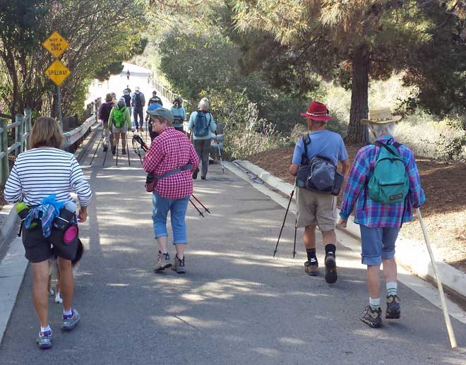
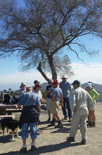
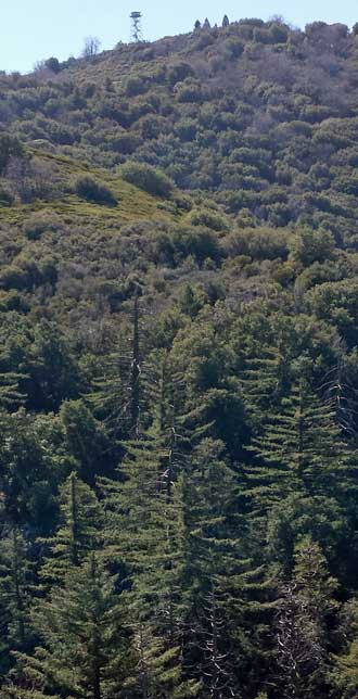
Wednesday: February 26, 2014: At the top of the hill overlooking the park is this concrete building with two air conditioning units and a backup propane generator if the power fails. Next to the building are the two huge water tanks which provide water to the park. But those two tanks have a building of their own and a backup generator to supply power to the pumps if needed. Next to the water tanks is a 75 foot pine tree. But a closer look (click the photo) and it's NOT a pine tree. It is a camouflaged Verizon tower. So the park has it's own Verizon tower. That why we get such good reception here.
 |
 |
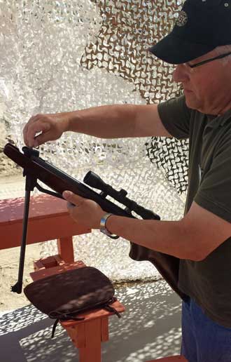 |
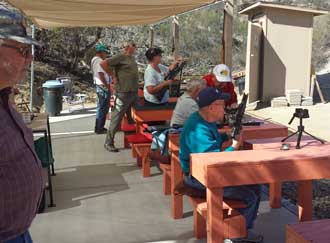
Monday, February 24, 2014: Besides laundry, Gwen and I took advantage of the "open range" and the air-gun target range. Neither Gwen nor I have shot a pellet gun but Bill and Steve took their time to show us how to load and shoot a rifle. The shooting range at Jojoba Hills is limited to air-guns and archery. I was surprised at the accuracy and the kick of a rifle. Steve also showed me how to load and shoot a pistol. Gwen was far better at this than me. Unfortunately there was no archery equipment to try. Click the photos for additional views. Gwen spent the rest of the afternoon at the pool then sewing. I scored student assignments. | 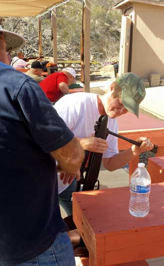 |
 |
 |
 |
 |
 |
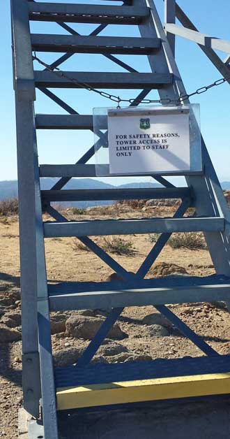 |
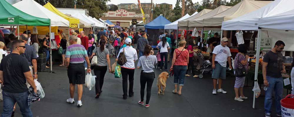
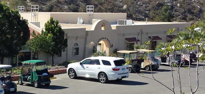
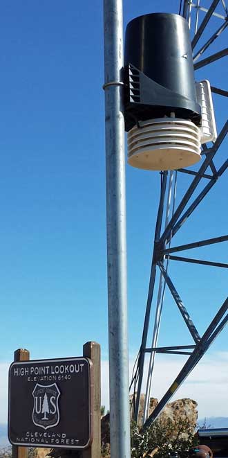
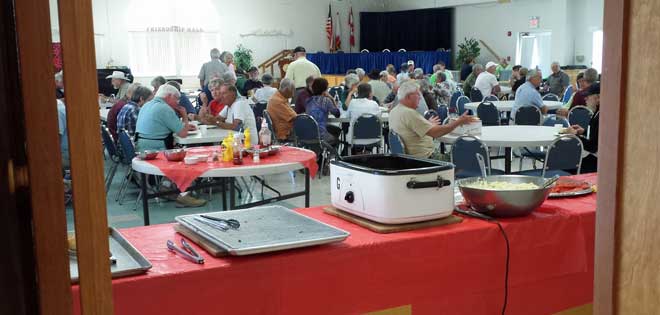 Friday, February 21, 2014: There is always something to do. So much to do, it's difficult to get out and see the area. Today, Gwen and I DID take a drive into an unknown rural area but before that drive, we joined the members for a lunch special at the clubhouse. It was a fund raising lunch for the air-rifle group to raise funds to improve the air-rifle and archery range. I asked questions about the target range and a member of the group took me for a golf cart ride to the range. I believe Gwen and I will experience the range on Monday for an "open" shoot. The clubhouse is behind this photo. Note are the golf carts members use to get around this huge resort.
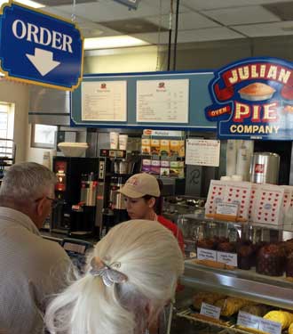
  Thursday, February 20, 2014: We started this day with an early morning trip to Temecula with the ROMEOs from the Jojoba Hills Resort. We didn't know who the Romeos were but they advertised a breakfast trip at 7:30 am to Mimi's Cafe. We sat down with the group and noticed that Gwen was the only woman. I asked who the "ROMEOs" were and learned they are "Really Old Men Eating Out". Gwen then became the honored guest.
We did a few errands then returned. Gwen was anxious to work on finishing the quilt. The binding must be sewn to the edges. I actually did one edge but had to quit because the stress level was too high for me.
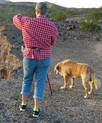
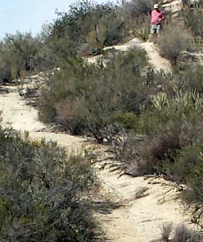
We took a break in the middle of sewing to take Morgan on a short hike into the desert behind the park. There are trails but Gwen wanted to find her own way so we went bushwhacking.
Back to sewing and dinner then another break by sitting in the hot tub. Now it's time to watch the Olympics and continue with more sewing. Maybe the quilt will be finished tonight, depends how much of the Olympics we must see.
 |
 |
 |
 |
 |
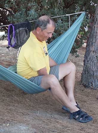 |
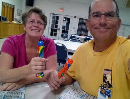
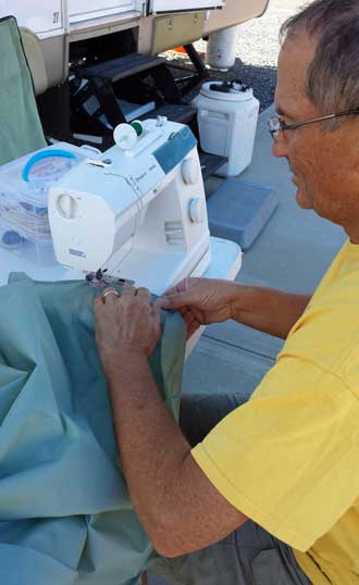
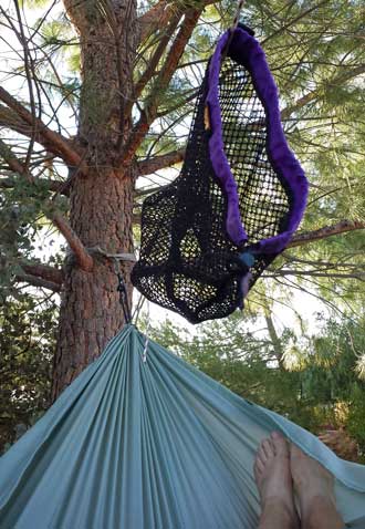
Sunday, February 16, 2014: I spent most of the day sewing (I'll show you what I made next week). But Gwen twisted my arm and we went to Bingo in the clubhouse. At Jojoba bingo, you must use a dauber which we borrowed from the clubhouse. And, "No" ... we just donated to the winners tonight. Maybe we will "clean-up" next week. They play until late ... I don't believe we got home until 9:30.
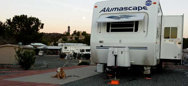 Thursday, February 13, 2014: After driving through a wind farm near Palm Springs and some dreadful traffic (at least for us Oregonians) we arrived at the "Gem" of the Escapee parks, JoJoba Hills, about 15 miles from Temecula and 1.5 hours from San Diego. We are at 2100 feet in some very dry hills since California is in a terrible drought. It is typical southern California weather, 82 degrees and no wind, clear skies. The first thing we did after setting up, visit the clubhouse and huge, 65' pool, library with 2000 DVDs, exercise room and reserve time in the laundry room. We immediately went after our swim suits, took some laps in the pool and then sat visiting with others in one of the two hot tubs. We'll take an official "tour" of the resort tomorrow. Note the moon just to the left of the trailer. I'll be washing off the desert dirt sometime this week. Morgan likes her new patio and Annie has already explored (which is against the rules since all pets must be on a leash). It was warm enough to sit on the patio in the evening enjoying the full moon. Click the photo to see the pool.
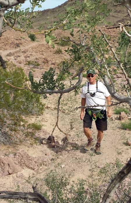
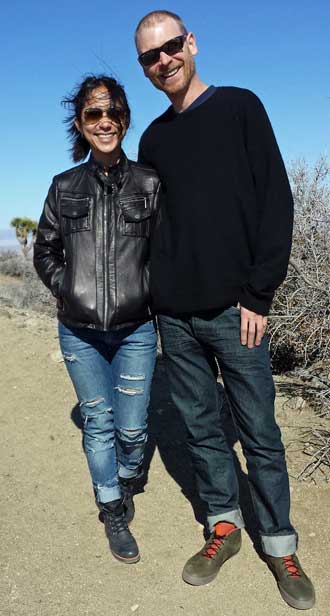 Wednesday, February 12, 2014: Is this couple lost? This has got to be the funniest story ever. I hope you read about my 5 mile hike to Eureka Peak (below). I was following the national park service map given to me showing the trails out of our campground (just a bunch of dotted lines with destination names at the end of the lines). So I've hiked the two hours and the 1800 feet to Eureka Peak, taken my photos and retraced 20 feet to get out of the wind and have some lunch. About 200 yards away on an easy trail is another peak almost as high as where I'm having lunch. A station wagon, driving on a sandy road I hadn't noticed before, continues to that peak, stops and two people get out. WTF .... I'm thinking to myself, I've just hiked a steep ascent and you can DRIVE here! I watch them wander around, look at the view then they slowly work their way over to me. "Howdy", I said. "We don't know where we are." They said. Where did you come from?, I asked. "From that Honda Pilot over there." They said. "No, I meant, where did you start?" I replied. "In Palm Springs", they replied. "We set our GPS for the 'Joshua Tree National Park Welcome Center', and it lead us into several dirt roads and when we got to that point (pointing at their car), it said 'You have arrived'." I just about rolled off the mountain laughing so hard. "Well, WELCOME to Joshua Tree National Park." I blurted. "You ARE in JTNP, but the two welcome centers are over there," pointing to the view to the north. I showed them the view of Yucca Valley and then the city of Joshua Tree where the West Welcome Center was located. Then I pointed to the 29 Palms Marine Base up against the mountains to the north and told them the North Welcome Center was about 8 miles this side of the marine base. "I have GOT to take your photo." I said. "I want to tell everyone about this experience." Meanwhile, I'm thinking, this should be one of those off-road car commercials for Honda Pilot. I showed them the map I had followed to get to Eureka Peak then they left me, hiked to the top of Eureka Peak to take in the views I had just described. By this time I had finished my lunch so packed up my gear and started my descent. Click their photo to see their Honda Pilot parked on the adjacent peak. Is this FUNNY or WHAT?
 |
 |
 |
 |
 |
 |
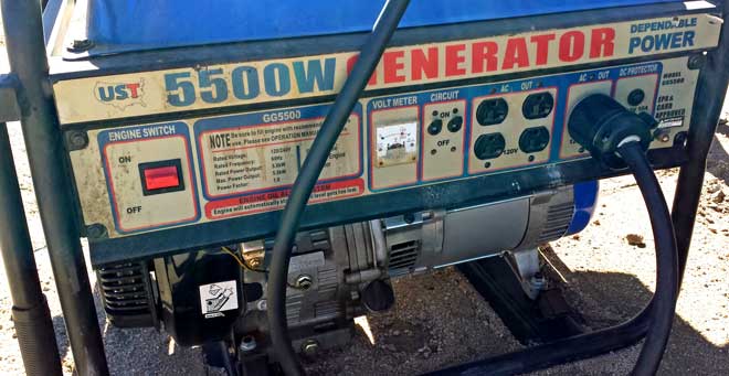 have a muffler, it's not much of a muffler, after all, a contractor is running saws, drills, lights and other power equipment to build a house, who cares about the noise of a generator. The Honda 2000 runs at an RPM to meet the demand and no more. So it would barely be above idle to charge a battery. There is also a difference inthe power provided by a contractor generator and an inverter generator but I don't know enough to speak about it. Is a contractor generator illegal in an RV park? Maybe in some but not usually in a public campground. There are almost always "generator hours" posted. Do RVers using solar own generators? Yes, but rarely have to use them IF they know how to manage their solar power correctly (I've known solar RVers who still depend on daily use of their generators). We use our generator to provide power to the vacuum cleaner and microwave and to charge the batteries when there is no sun. In this case, there were a dozen tent campers even closer to this contractor generator than we were. The following is a letter from me to those who use contractor generators:
"Dear RVer: My wife and I sat down a couple of weeks ago and discussed what we would like to do. After coming up with several ideas we both decided we wanted to listen to a gasoline engine (with little or no muffler) running at full RPM for most of the day. But where to go to find such an event. We immediately thought of a public campground where RVers run their cheap generators for power. So here we are. Unfortunately, for the first part of the week we were surrounded by only tent campers who were here for the peace and quiet, such a disappointment. But then came the weekend and YOU arrived with your UST 5500 Watt contractor generator. Today you left it running for hours and it was "music to our ears" because THIS was the whole reason for us to come to this campground. The silly tent campers who came for "peace and quiet" gave up (I suppose because they couldn't hear each other), packed their tents and either moved or left. I certainly hope you are not leaving soon and you know "generator hours" are 8am to 10pm, so please leave your generator running. We can go home happy because we got what we came for.
Sincerely ......"
Click the photo to see the campsite with the contractor generator.
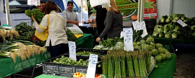
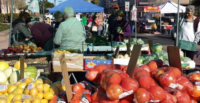
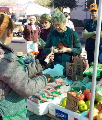
Saturday, February 8, 2014: No hiking today but visiting the Joshua Tree Farmer's Market. This was better than the Yuma market with several fresh vegetable vendors. The asparagus was exactly the way we like it, tall and slender. We were able to take Morgan and she met two other Golden's also visiting the market. Gwen bought vegetables and bread. Click the photo for an overview of the market.
 Friday, February 7, 2014: Today was a time of errands into the cities of Joshua Tree and Yucca Valley. I was in search of my favorite breakfast cereal, Muesli which I have not been able to find. So today I visited the three grocery stores in the area, Von's, Food-4-Less and Stater Bros. It was an interesting experience seeing the difference between the three in this high desert area. I was unsuccessful at Von's and Food-4-Less but before giving up, I tried Stater Bros. and learned it was far busier than the other two stores. Apparently the locals prefer Stater Bros. for some reason. Surprisingly, they had half a dozen different Muesli choices, all at the highest prices I've ever paid. I made a choice and purchase with the idea of adding oatmeal to help reduce the price. Today must have been the day planned by the Girl Scouts to sell their cookies so I had to buy a box of cookies at two of the three markets.
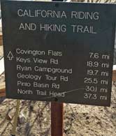
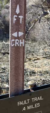
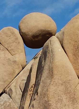
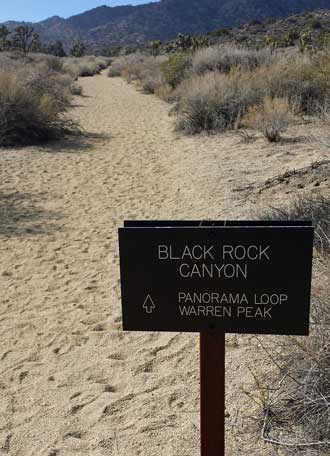
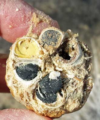
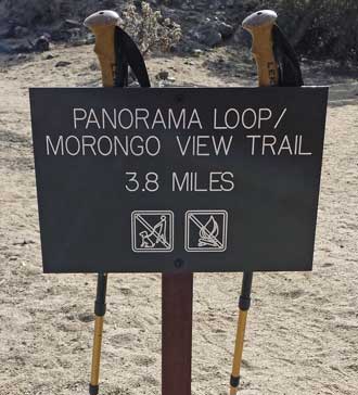
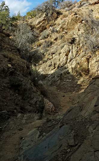
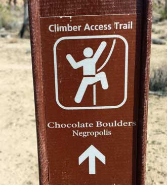
We are surrounded by all sorts of granite rock shapes as the photo shows at left of this spherical bolder 15 feet in diameter perched forty feet off the ground. Behind that photo is a photo of a sign marking the California Riding and Hiking Trail which crosses the park from our entrance at Black Rock Canyon to the North Entrance, a total of 37 miles. I'll admit, if I had my backpack gear with me, I'd hike some of that trail just to say I did it.
 |
 |
 |
 |
 |
 |
 |
 |
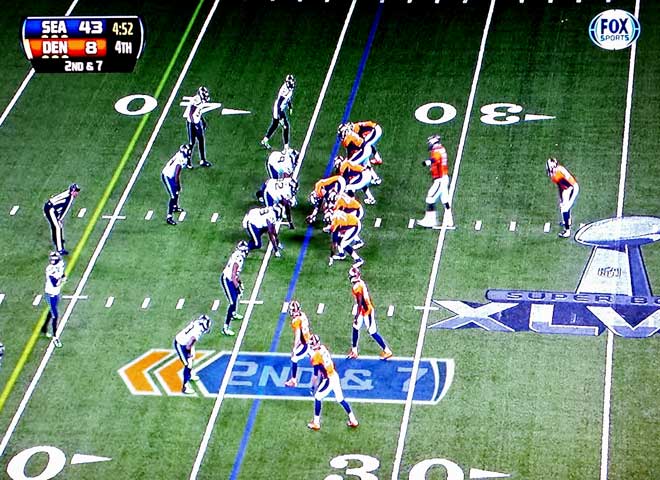
Sunday, February 2, 2014: What a surprise ... too bad, so sad for Denver.
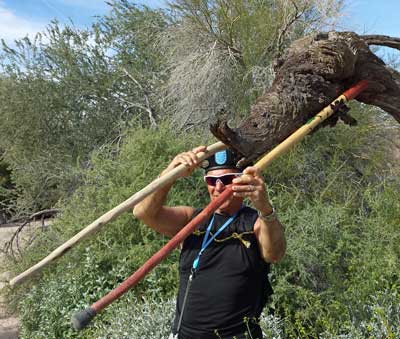
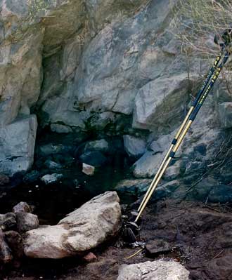
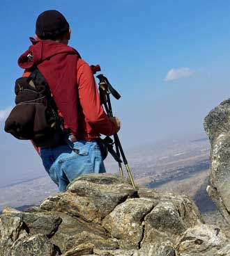
Saturday, February 1, 2014: Another really windy day where I went for another hike, this time with Morgan. However, I had to show this photo of my friend, "Hawk". On the last group hike here at the LTVA, "Hawk" thought he found a wild hog. To be sure we saw what he saw, he held up his hiking sticks as if they were tusks on the wild hog. Good job, Hawk.
Tomorrow is Super Bowl Sunday (Denver Broncos vs Seattle Seahawks) but it's also the day to get ready to ROLL on Monday!
 |
 |
 |
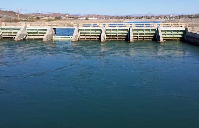
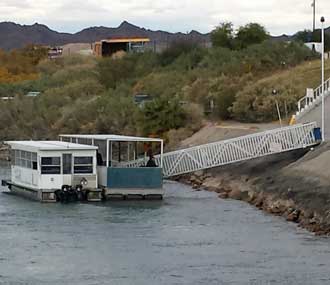
Wednesday, January 29, 2014: This is the All American Canal about 1 mile from our campsite and separates California from Arizona at this location. It's what's left of the Colorado River and it is what gives the USA lettuce and other salad crops all winter long. The Imperial Dam sends the Colorado River into the All American Canal which sends water to south eastern California, the Imperial County. I must cross the canal several times when riding near the Yuma Proving Ground which is 2 miles to the east of the canal into Arizona. Click the photo to see the little rail cars which haul reeds and other debris caught in the Imperial Dam outlets to a dump truck where they are hauled away.
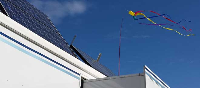 Tuesday, January 28, 2014: During our last visit to the Arizona Marketplace, I purchased a twirling wind sock and the pole to attach it. Every time I visit Arizona and experience the nearly constant wind in the desert, I imagine having a wind actuated toy of some sort flying from our trailer. I finally got a twirling wind sock, works pretty well and so far it's not in pieces yet. The sock was actually cheap compared to the collapsible fiberglass pole. Click the photo for another view.
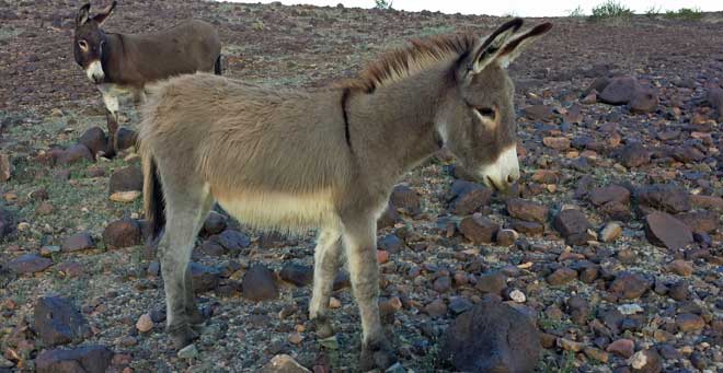
 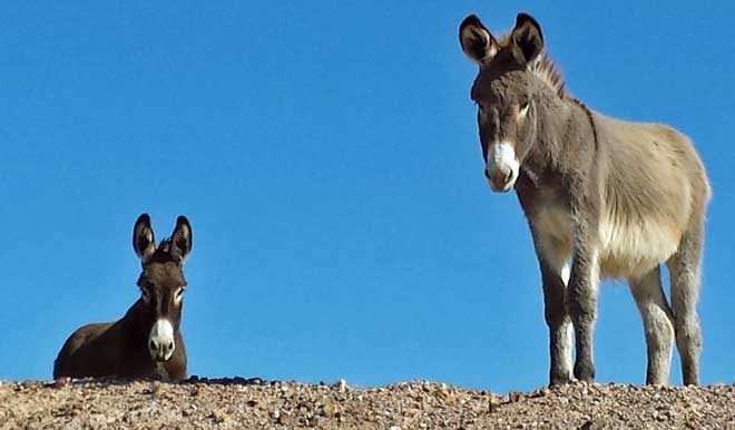 Monday, January 27, 2014: Finally the wild burros are close enough to get some good photos. They look pretty healthy don't they. You have to wonder what they find to eat around here. They appeared to be grazing before I stepped up to take their photo but I couldn't see ANYTHING for them to be grazing on. Much of the time, they seem to be standing, sleeping (not moving for long periods of time). They did not try to approach me but I'll bet if I'd had an apple in my hand, that might have been different. I haven't seen "Don't feed the wildlife" signs but maybe that's understood. I have heard them baying but not today. Click the photo for another view.

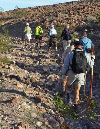 |
Thursday, January 23, 2014: Thursday morning at the LTVA is always the day the hiking group meets to hike together. Today's destination is the "natural bridge". I didn't know what to expect for a group hike or for a natural bridge. I felt like we were lost much of the time but always going in the correct "general direction". Along the way to the natural bridge we came as close as I've been to the wild burros. Click the photo on the left to see them. We had lunch at the natural bridge then some of the folks were clowning around for photos. Click the photo on the right to see what I mean. Here is a MapMyWalk report of today's hike. | 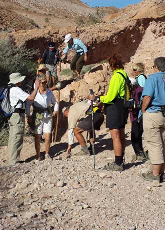 |
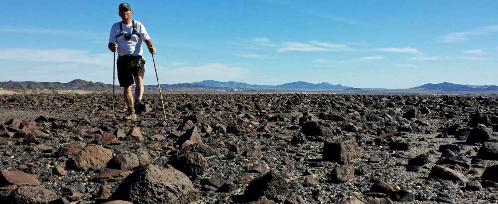
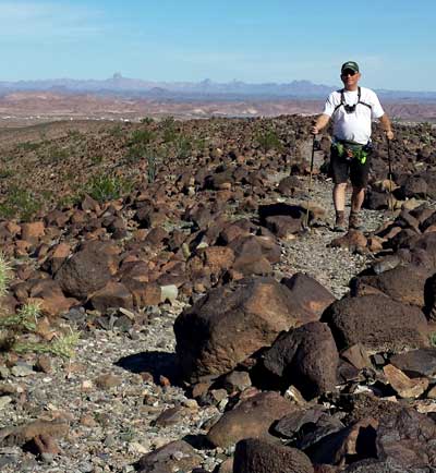 Wednesday: January 22, 2014: Today's hike was to the west (yesterday was to the east). There is a mountain two miles to the west with a pile of rocks to explore and the promise of a good view. I could find no trail until the very last so the photo above shows the desert scattered with volcanic rocks probably from some explosion years ago. Click the above photo to see my goal in the distance, the mound of rocks to the right of my hiking path and at the top of the dirt road up the mountain. Once I climbed to the "mound of rock" I learned that they had been piled with an entrance and walls, I don't know for what purpose. I turned around to look east and was not disappointed with the view. The Yuma Proving Ground military base is in the distance to the right with the Imperial LTVA on this side of the distant mountains. I did find a trail toward the end of the hike to the mountain. Pass your pointer into the photo at left to give the illusion of my hiking the trail. When hiking, I use "MapMyWalk" APP on my phone to track the walk. You can see the report of today's hike here. If you check that report, you'll see my new heart rate monitor is working perfectly. When I began serious cycling 35 years ago I used a heart rate monitor mostly to be sure I was not over working. I intend to use this one not only to keep from over-working but also to be sure I'm working hard enough. Lots of folks use a "fitbit" (which counts steps) as a motivational fitness tool but I like the idea of a heart rate monitor for motivation. I'm familiar with it's use and trust it for fitness accuracy where counting steps is too indirect for my purpose.
Tuesday, January 21, 2014: Someone has posted a small US flag at the top of the mountain overlooking the Imperial LTVA. I hiked to the top of the mountain to take the above photo. Be sure to click that photo to see the panorama and our campsite in the distance. Once you click the above photo, if you get a magnifying glass with a (+) inside, click again to see the photo full size, scroll across to see the entire photo (it's 5000 pixels wide). I hiked to the LTVA visitor center to pay our $40 fee for the two weeks we plan to stay then continued hiking to the top of the mountain overlooking the LTVA. I learned that the hiking group meets on Thursday morning so I plan to hike with them. It does not seem to me that there are as many campers as I remembered in the past. The KOFA Escapee Park also reported fewer campers than in the past. Since fuel prices have not changed much in the last couple of years, I don't know why there are fewer travelers. Weather is perfect today but the wind is more than usual averaging between 13 and 18 mph. It is far more relaxing in desert camping, no need to drive anywhere. Just sitting around reading, scoring course assignments and waiting for "happy hour". There is another photo behind me hiking to the right, click to see that photo.
 |
 |
 |
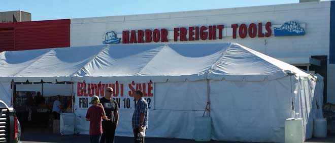
Sunday, January 12, 2014: Today, I watched football, scored college assignments and tried to get some rest to beat the Yuma Crud I'm experiencing. This photo was taken yesterday when I visited for only a short period. I learned quickly that HFT didn't have anything which interested me. I DID learn that the best items are sold out on the first day. My personal feeling is that HFT has a few good items especially for people like me who may use a specialized tool very seldom so cheaper quality and price may be justified.
Saturday, January 11, 2014: While I'm trying to help my recovery from the Yuma Crud by watching the Seattle Sea Hawks and New Orleans Saints battle it out for the NFL divisional title I will display what I think is one of my greatest tech finds.
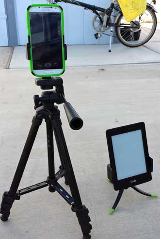
I am often looking for a way to get into the photo but since I use my Samsung S4 cell phone to take photos I had no way to attach it to a tripod to get into the photo until I found the Square Jellyfish Smartphone Spring Tripod Mount
on Amazon. It works great, light weight, easy to install and with the phone features does exactly what I want it to do. The phone has a ten second delay feature but also has a voice activated shutter feature which I've been successful using as far away as 100 feet. Gwen liked what I got so much she got a Square Jellyfish Mini Tablet Tripod Mount
for her Kindle reader to make it easier to hold and read. She got the little Square Jellyfish Jelly Legs Micro Tripod
to hold her reader. All these items are high quality, convenient and handy but inexpensive. Click this photo to see a close up view of the Square Jellyfish cell phone spring mount before I unboxed it. I don't how any photographer who uses their smartphone as a camera can do without one, actually I have TWO just to be sure it is always with me.
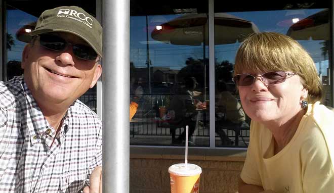 Friday, January 10, 2014: The "Yuma Crud" symptoms finally got bad enough today I looked up a Blue Cross Physician hoping to get some strong medicine to kick this crud. After about 45 minutes of wait time a PA looked at me for about 90 seconds then gave me several prescriptions. When he first entered the room he asked, "What's wrong?" I replied that I had what everyone else in his waiting room seemed to have and told him my symptoms. We drove to the nearest WalMart to drop off the "scripts" and noticed that this WalMart had covered parking. I figured it would really be nice in the summer. While waiting, Gwen and I walked to Del Taco, only a short distance because we were both hungry. This photo was taken outside in the 75 degree weather. I could have enjoyed the weather MUCH more if I was feeling better. When back at the car, I took a closer look at the covered parking. This was a whole parking lot full of solar panels not just covered parking. Click the photo to see what they looked like.
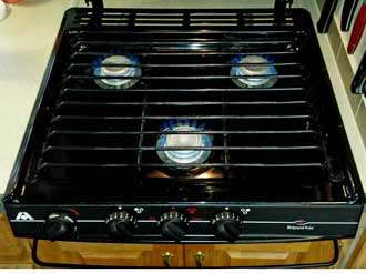
Thursday, January 9, 2014: I'm trying to survive some sort of southwest flu bug plus working on score assignments for my college course today. I still had time (and energy) to list the old stove top on eBay. I honestly don't expect to get a bid but you never know with eBay. While looking for the right category I found a brand new Atwood stove top for $200 (more than I paid for the range) and the cover sold seperately for $75. Both are included in my sale which is starting at $19.95.
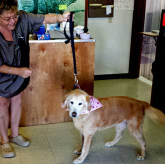
Wednesday, January 8, 2014: Long before the sun was up, I delivered Morgan to a groomer on the other side of Yuma from our RV park. This groomer was recommended by two folks in the park. It doesn't seem like it would be difficult to find someone who could do a good job with trimming Morgan but it is. Shari is showing off Morgan after her half day at the "doggie spa".
While at the groomer, I happen to notice the sign behind the cash register. I got permission to take a photo of the sign. At least some of it is true. Click the photo to see if you agree.
Sunday, January 5, 2014: This day was mostly spent with Janet and Ralph as they visited several Yuma retail stores then off to the best asian food in the area, the Asian Star restaurant. This was just before the start of the wildcard playoff game between Green Bay and San Francisco. Both teams played in the frozen conditions but surprisingly, the 49ers were better suited to the conditions than the packers and won the game.
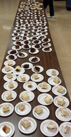
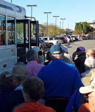
Almost immediately after the game was ice cream social which filled the clubhouse and I learned that the first Sunday of each month is also "cake day" so a table of cake slices were ready for everyone in line for ice cream. Click the photo of cake pieces to view the crowd ready to buy a scoop or two.
Then came the fourth season of Downton Abbey. How can we be so involved with British drama, but we are.
 Saturday, January 4, 2014: Continuing from yesterdays story ... my upload of current course material worked BUT the course then showed duplicate files, those loaded by administration and the correct ones loaded by me. The administration helped to erase the old files but erased a number of the current correct files which I've had to fix. The short of the long story is that the course will be ready for the students on Monday.
 Friday, January 3, 2014: Nothing like waiting until the last minute. The college course I teach begins on Monday. It normally takes about a day to get the course ready for the students (an UNPAID day). So today I began working on it. I quickly learned that the course uploaded by administration was one I prepared three years ago rather than the one I prepared last year. In talking with administration we decided to upload the backup I did last March which would be the current course. Once that was done, I also learned that I was number 282 in the queue for course installation. That meant my course will not be ready for my programming until tomorrow. Let's hope there are no further problems.
Now, the reason I'm showing a photograph of the two textbook editions is to tell of a trick played textbook publishers. Last March, I taught from the 2012 edition which is no longer available. Instead, I must teach from the 2013 edition even though there are very few changes. This creates more work for me because I must make sure the page numbers I reference are the same in the new edition and creates more profit for the publisher. The students can't buy a used book because they must purchase the new edition. Additionally, since the publisher updates the edition every year, they may not be able to sell the book back to the bookstore at the end of the course because next year's class will likely be the 2014 edition. This textbook costs the students $197 and about the same amount for college registration fees. There is virtually no change in the content of the course with the new edition. It's a trick by the publisher to improve profit at student expense. I feel badly for the students.
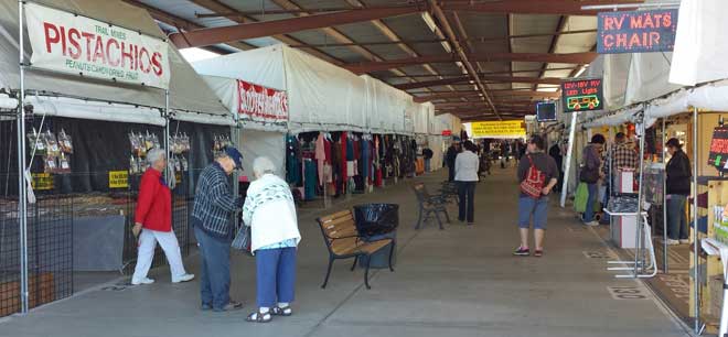 Thursday, January 2, 2014: Ralph and Janet wanted to shop at the Arizona Market Place. This photo gives you a better idea of one of the isles in the market place. I've learned to be careful with both RV supply purchases and tool purchases because the booths within the market place are very competitive so if you really want deals, you must shop for price. Also, Amazon has better prices much of the time and if a member of Prime, free two day shipping. Harbor Freight often has better prices on tools and hardware items. Click to see the photo behind this one. It is a panorama of one of the booths but instead of panning for the panorama, I walked the length of the booth so their is no distortion and a good example of one of the quality booths. For some reason, socks are a popular item at the market. Maybe because everyone uses/needs socks. I tried to watch the Sugar Bowl in the clubhouse but tonight is Bingo night and was told I had to mute the game. That was OK but bingo is distracting anyway so I came home to listen to the game on satellite radio.
Wednesday, January 1, 2014: I didn't miss Billy Joel on New Years Eve after all. It has already been posted on YouTube.
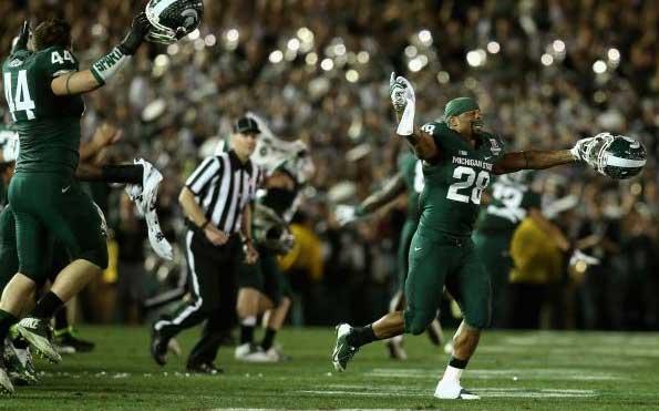
Gwen needed something for one of her projects so decided to drive to Wal-Mart. I had a one-day coupon for a 25% discount at Harbor Freight so decided to have her drop me off while she went shopping. As hard as I tried, I couldn't even bring myself to purchase a small item due to an 8.4% sales tax in Yuma. I know, the 25% discount would have offset that sale tax a bit (the discount was on ONE item only) but I keep thinking, "you know, I could do without these items until I return to Oregon and Harbor Freight has sales continuously". It may be silly, but I bought nothing and walked to the mall parking lot where Gwen was shopping. We returned in time to see the Rose Bowl game, Stanford Cardinals against Michigan State. The Spartans won by four points. I have mixed feelings about that. I would like to see the PAC12 win but it was Stanford who kept Oregon out of the Rose Bowl. So I should be happy either way.
 |
 |
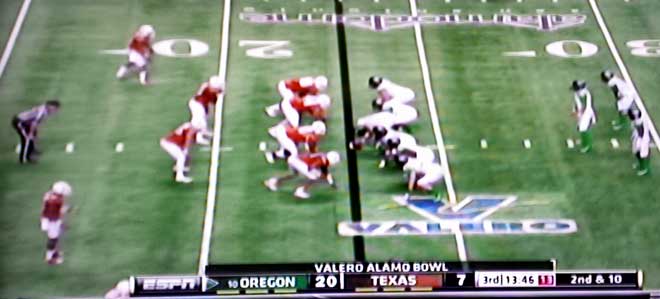 Monday, December 30, 2013: After window washing and visiting with a friend, our good friends, Ralph and Janet arrived and parked down our street. We'd been looking for them to arrive before the Alamo Bowl so we could all watch the game in the Clubhouse. Gwen fixed great enchiladas which we enjoyed before the game. Oregon and Texas Longhorns played in San Antonio, Texas. Number 10 ranked Oregon Ducks soundly defeated the unranked Texas team. Gwen and I sat in the hot tub after the game, so far, an every night activity for us.
 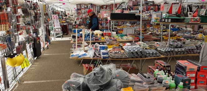 Friday, December 27, 2013: Yes, Gwen did go with me to the Arizona Marketplace. So Gwen walked three aisles and listened to the accordion band but I didn't make it out of Wally's, sort of a hardware outlet store where I've often found interesting tools I had to have. Not today, however. I need more time. Gwen was getting hungry so off to "Chicken on the Run" because it had 25 reviews with an average of 4-1/2 stars. Click Wally's to see "Chicken on the Run". As it turns out, neither Gwen nor I would have given "Chicken" anything more than three stars. We both enjoyed the fries but my fish was tasteless and Gwen felt Carl's Jr does a better job with burgers. Such a disappointment, more that Yelp led us to "Chicken" than in the meal.
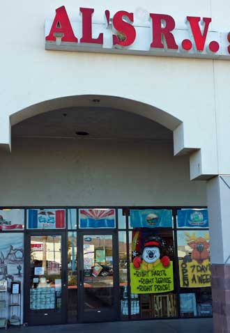
 Thursday, December 26, 2013: Gwen set me loose today with my intention to go to the Arizona Marketplace, a relatively high class flea market where I already have a list of items I'm looking for that I've been creating for months. So away I went but quickly learned that Arizona Marketplace had only half the vendors it had four years ago when we were here last. Asking around I learned AM had changed their pricing structure to the vendors and half of them moved to a cheaper location. So I decided to visit that location first. It was mostly closed because "the vendors are out in the fields". Next, Starbucks because it was the only coffee shop which showed up when I typed "coffee" into my Prius GPS. After coffee, off to an RV parts store advertising "in the same location since 1971". It looked like their inventory was from 1971 too and hadn't been moved when first set out. However, they seemed to have good prices but I have more places to check. So I followed the back cover ad on the guide to the Yuma area. Look at that ad by clicking Al's RV. The ad promised cheap prices on LED lights, huge discounts (15%) plus a coupon for 10% off my entire purchase. They DID have a nice selection, well organized and clean but the prices, even with a 15% discount were well above what I've seen elsewhere. So either I don't understand their pricing (perhaps the sticker is only a "suggested" price and 25% is taken off at the register) or the majority of the Arizona snowbirds are from places with prices MUCH higher. I think I can wait until I return to Oregon for most items. Oh, and the LED prices were twice what I paid at Amazon. After this disappointment, I drove to Wal-Mart hoping to find a few items on my list but, nope, nothing but coffee creamer. By this time it was 3:30 pm and the Arizona Marketplace closes at 4 pm. Maybe Gwen will go with me to AM tomorrow.
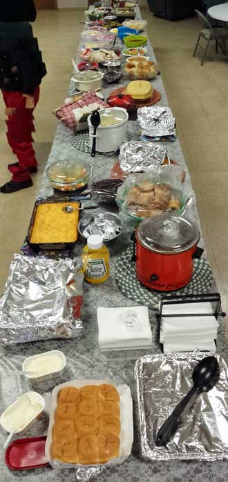
Wednesday, December 25, 2013: Since we are parked at the Escapee retreat in Yuma we are joining the Christmas potluck on Christmas Day. If you click 2008 on the home page, you'll find that we were here during the holidays then. We arrived a few days after Christmas but still enjoyed much of the holiday activities. That was before I retired in mid-June, 2009. This potluck took a lot of planning and volunteer help. The park provided the meat, potatoes and gravy then everyone brought a side dish to share. I would guess there were 90 people attending. We sat with park leaseholders from British Columbia, Canada. Our park, Timber Valley in Sutherlin, Oregon has about 100 leaseholders who stay year around. This park, because of the extreme heat in the summer, has mostly transient leaseholders and is actually closed to renters during the summer months. To me, the talk and activities seem livelier because of the transient nature of those renting and leasing here. The variety of the side dishes was exceptional and it was hard not to try a little of everything. Click this photo to see a view of those in the clubhouse ready to eat. When we got home, I was able to walk off some of the food by taking Morgan for a long walk. Tomorrow promises to be busy because we are wanting to visit the Arizona Marketplace.

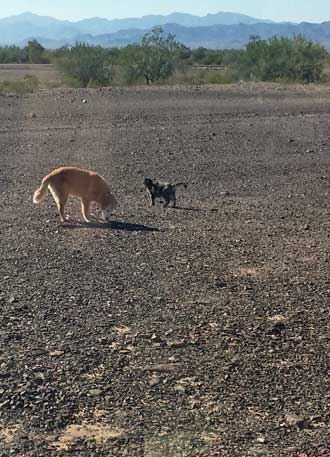 Sunday, December 22, 2013: Morgan and Annie like this desert. It's warm, 64° today, no leashes for Morgan and no one screaming at us because Annie has wandered onto their lot. Annie had a scare a couple of nights ago with coyotes nearby so she is not wandering far without Morgan nearby. The bright sun brought our batteries back to 100% early today. I'll be bringing the panels back down later today because we are moving again tomorrow. Additionally, there is no wind today which has been a change from our Bullhead City experience.
Because the day was so perfect, I chose to take a hike deeper into the desert toward some mountains I can see in the distance. Click the photo to see what the desert looks like. There is no trail, but wide open spaces. I took my binoculars on the new binocular harness which worked perfectly. I haven't used my Garmin GPS in a while so took it with me to be sure I made a straight line back to my starting point. Eric always said, "Just know where NORTH is and you won't get lost." But in the desert, everything looks alike and I can get the general direction to walk from the position of the sun but not exact enough for me. It was good practice anyway since I've forgotten some of the GPS commands. It was a two hour hike and I can feel it in my legs and the rocks were tough on the bottom of my feet. I got back in time to hear the Seattle Seahawks vs Arizona Cardinals on satellite radio. This has been a defensive game with BOTH teams playing great defense but BOTH offenses struggling. However, it's the Cardinals that pull off the upset on Seahawk home turf.
Saturday, December 21, 2013: Today was a special day where our friend from Phoenix, Sarah, came to visit. She had been one of my student workers nearly ten years ago when I was a full time instructor at Rogue Community College. She is now a campaign manager for politicians seeking office and moves from state to state where ever she is needed. It was good to catch up with her activities. Before her arrival, we had time to visit some of the hundreds of street vendor booths setup along the streets of Quartzsite. You will find nearly anything from kitchen gadgets (where Gwen was looking for some specific items) to tools (I head to the tool booths, to RV supplies, to socks, to imported hand made clothing (where Gwen found some gift items). I noticed these solar, animated, figures on a rack priced at $3 each. Last year Gwen purchased six from the dollar store (so $1 each). I don't believe most vendors are making that large a profit margin. I was tempted to buy some miscellaneous tool items but resisted. In the past, there was as much variety at the Arizona Marketplace in Yuma and the prices were better in Yuma. That's where we are headed on Monday. Click the photo to see an isle of vendors, an example of the hundreds which show up each year. Usually, if a vendor comes to Quartzsite, they park their store in the same spot so annual visitors can find them each year. That was the case for Gwen with the kitchen gadgets. She knew exactly what she was looking for because she had purchased it at this same vendor several years back.
We learned last night that we were too close to US95 and the traffic noise bothered us so we moved further down the road. We are less visible and the noise has been reduced to nothing. If you compare last night's photo with tonight's campsite, they look identical. That's because the desert changes very little in this location.
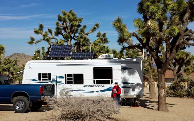
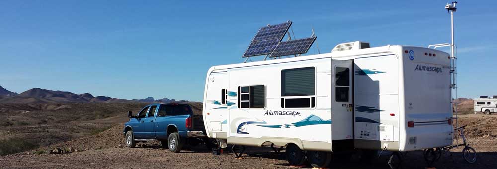
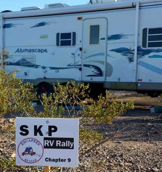 Friday, December 20, 2013: This was a travel day from Bullhead City, Arizona to Quartzsite, Arizona. Weather was clear but strong winds mostly from the north. This gave a welcomed PUSH to Quartzsite but in the case of a side wind, very difficult trailer handling. When I purchased the Alumascape I was expecting easier towing because the trailer is 7,000 lbs lighter than the Cameo fifth wheel. It is true, the Dodge likes the lighter weight and with the exhaust brake, I rarely have to brake when coasting downhill. However this "bumper pull" is MUCH more difficult to handle in a crosswind than the larger fifth wheel. The reason the fifth wheel handles so much better is due to the connection point slightly ahead of the rear axle rather than off the rear bumper. Hensley makes a specialized hitch to correct this "bumper pull" problem but the hitch is $3,000. Anyway, the strong winds today made for difficult towing when in the crosswind direction. We easily made Quartzsite and quickly picked a nice location in the desert to park FREE. The weather station and panels went up first. Having the panels pointed directly at the southern sky (where the sun is in the winter) quickly gives me a full charge on my batteries. It also lets other RVers know (who might come to park after me) that I don't have to use nor do I like to hear generators in use around me. Especially in the Quartzsite, Bouse, Imperial Dam areas, solar charging by RV travelers is very popular and those travelers are after a quiet location so if you learn nothing when reading my travel log, learn this, don't park near someone with solar panels if you must use a generator for long periods of time. The Lake Mohave campground we just left was very nice but like all campgrounds of that style, they provided no hookups so RV campers believe they have the right to provide their own power with a generator. In this case, three of the campers near us purchased cheap "contractor" generators which provide lots of power, always at full RPM no matter the demand with little or no muffling of the sound. That ruins the camping experience of everyone within a quarter of a mile around them. So, here we are, a few miles north of Quartzsite. In the past this town has been far more active with RV travelers but we have noticed a slow down of RV visitors. We been told by other travelers, it's because the town of Quartzsite has made changes which discourages the many vendors and those choosing to camp here. We intend to stay only a couple of days before moving on. This town is a giant garage sale, flea market, craft market and street vendors all in one place. In the past, we've stayed in the area for several months but still not seen all the vendors. Click the photo to get a better idea of our desert location. Oh, the sign, I like putting that out near us when boondocked. It's an invitation to other Escapee Members and a discouragement to non-members.
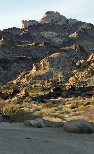
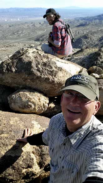
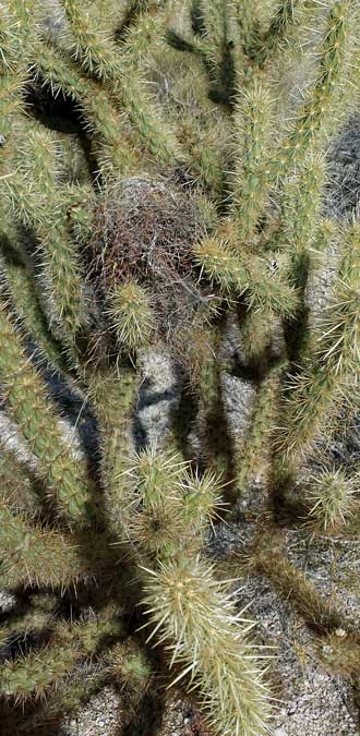
Wednesday: December 18, 2013: At right is some desert life Eric found. Other than a fleeting lizard and a few honey bees on top of the mountain, we saw nothing. Click the photo for a close-up view.
Today was a quick trip to Las Vegas. Gwen was able to find exactly what she was looking for as a Christmas gift for her granddaughter. She also found a quilt store with the perfect fabric for the quilt she's working on. I was able to find the repair part for my day-pack from REI. And last, we were able to find a post office where the line only reached the door rather than OUT the door. Gwen got her items mailed. On the way out of town, we found a WINCO grocery store for a few special items. The trip went quickly, mostly because of the 75 MPH speed limit in Nevada.
 |
 |
 |
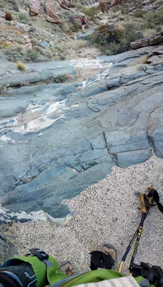 |
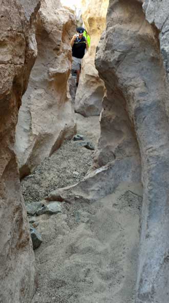
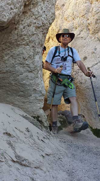
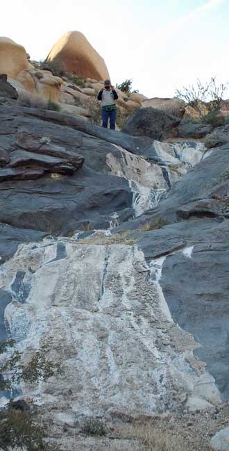
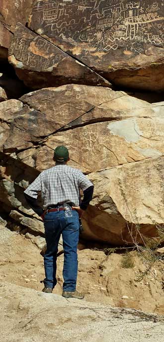
Tuesday, December 17, 2013: I enjoyed yesterday's hike so much I invited our friend Eric to join me to go deeper into the Grapevine Canyon. Eric was only a short distance away in Las Vegas. The technical nature of the canyon hiking stopped Gwen and me but didn't stop Eric and me. In fact, Eric decided our goal should be the top of the nearest peak for the best view of the area. As it turned out, we climbed one side of the mountain and returned on the other side. We were rewarded with fabulous views on this warm (71° day). Be sure to click each of these photos for additional views. I keep the photos large so you will see your pointer turn to an circle with a plus (+) in the center, that means click again to see the full size of the photo then scroll right, left, up, down to see the whole view. What great fun to hike with someone who challenges my limitations. (Oh, Eric is twenty-two). | 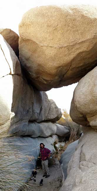 |

 |
 |
 |
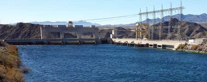 Sunday: December 15, 2013: After attending church in Bullhead City, we did laundry then took a short drive, for the first time, to see the Davis Dam generation facility (from a distance because the dam is closed). Lake Mohave is backed up behind David Dam then the Colorado River flows further south into Lake Havasu behind Parker Dam. My assumption is that these lower reservoirs are filled first (note Lake Mohave is full) then the reservoirs are filled further up river. Hover dam is further up river from Davis Dam and I know Lake Mead is only at 47% capacity and hoping for more precipitation. Lake Mohave is exceptionally clear but more remote than Lake Havasu (the more popular lake, but less clear). It's been windy most days since we arrived so not attractive to boating but on a windless day, would be very nice with 60 - 70 degree weather. They have rental boats and if given the opportunity, we may do a sight seeing trip on the lake.
 |
 |
 |
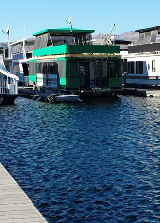
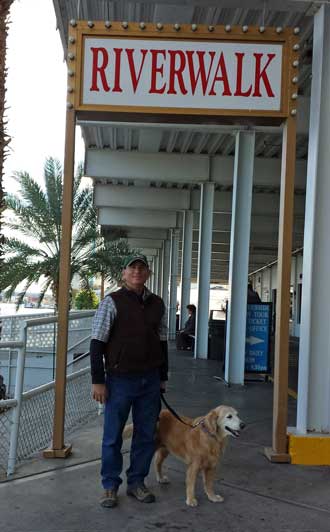
Thursday, December 12, 2013: Driving around Bullhead City today because the lavatory faucet in The Great Blue Heron Edition needed to be replaced. First, I found The Home Depot and picked just the right faucet. Next, on to Safeway for potatoes and salad mix, an errand for Gwen. Then on to Wal-Mart for a battery charger. I need a battery charger on a cloudy day because connecting the generator to the trailer gives only a trickle charge to the batteries from the near worthless converter in the trailer. The battery charger will send a 20 amp charge to the batteries. That's what they get from the solar panels on a bright, sunny day. Finally, I spotted the free boats to the Riverside Casino across the Colorado River. Click the photo for a view of the Riverside across the river.
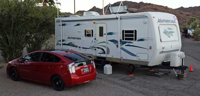
Wednesday, December 11, 2013: It wasn't much of a drive from Laughlin, Nevada to Bullhead City, Arizona ... just across the Colorado River. We've never visited this area before but have heard others who stay the winter or park on their way further south. I learned of BLM parking from the "Day's End" Escapee directory. I was expecting a wide-open-desert parking area much like Imperial Dam LTVA near Yuma. We were surprised to see a formal campground with paved roads and paved parking area, privacy palms, concrete picnic tables, water nearby, dump station and garbage too. The fee is $5 per day with a Senior Access pass. The host came to greet us and told of a laundromat nearby too. We are surrounded by those using generators and one contractor generator on the next row is drowning out all the others but HEY!, it puts out twice the Watts and only cost $250. I took a drive through Bullhead City after setting up and it's a huge city built right along the Colorado River.
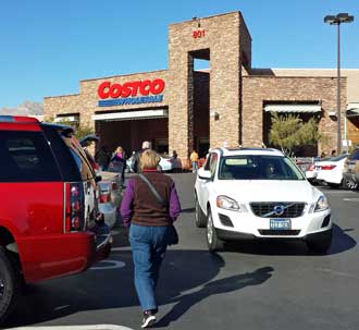
Tuesday, December 10, 2013: While traveling south from Death Valley to Bullhead City, Arizona we decided to visit three stores in Las Vegas, Nevada. The first was a Hobby Lobby which we had not seen for about two years. Gwen had a specific fabric in mind which she was after for one of her projects. Next came Costco, we were hoping for a huge, different Costco but it was just like Reno. Finally, our favorite grocery, Whole Foods. This delayed us so much, we arrived in Laughlin, Nevada after dark and chose to park in the Golden Nugget "Oversize Vehicle" parking area with several other RVs. Click this photo to see our parking location. It was a quiet night until 5 am when the garbage truck came to dump the bin located 100 yards from out parking location.
