 |
Mnt. Bike to the Top of Table Mountain |
 |
 |
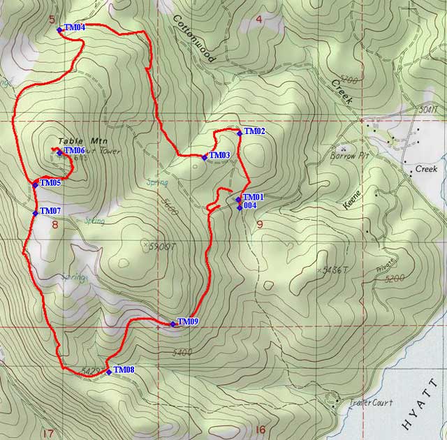
Table Mountain is only 5-1/2 miles from our resort as the crow flies. It is southwest of the resort and is directly west of Hyatt Lake. Hyatt Lake is a five mile drive and 500 feet higher than Howard Prairie Lake. Morgan and I spotted this road around and to the top of Table Mountain a few weeks ago and began wondering what it would be like to ride around and to the top of Table Mountain on mountain bikes. The words "Lookout Tower" on the top of Table Mountain are also an attraction because it may mean a view that we haven't seen before. So one day, early in the morning to avoid |
|
|
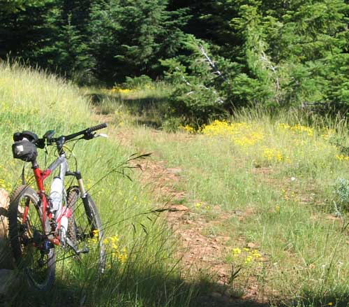 |
| the heat we decided to ride around and to the top of the mountain. We started by marking waypoints on the map so we could download these to our GPS to make sure we stayed on course. If you don't know what we are talking about or how this helps, I suggest you read Morgan's mountain bike story of searching for Buck Prairie Meadow. We were glad we had the GPS to start because our trailhead (above) was difficult to |
 |
| |
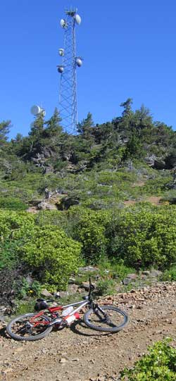 |
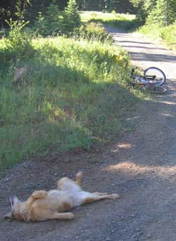
find. The route starts uphill then disappears from non-use. We still used our GPS to stay on track and as you can see from the map, kept right on the road that existed at one time. By the time we were at waypoint TM04 Morgan wanted to scratch her back. I was trying to take a photo to show how steep the grade was but at the time I pushed the button Morgan flipped onto her back to roll in the gravel. This is a steep grade! As we rode beyond TM05 we could begin to see the summit and the towers on the summit. Also a very steep grade and blocked by a closed gate which, of course, did not stop Morgan or myself. |
| |
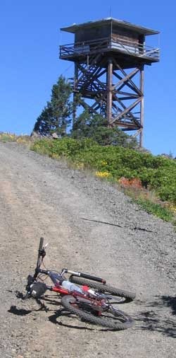
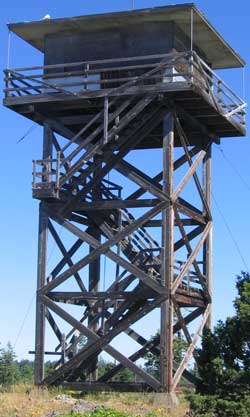
Now the promised "Lookout Tower" comes into view as we continue to climb this steep road. This is an old and unused lookout tower. It is made of wood and it has been long enough that several boards are missing or broken and the rest of the board look like they are ready to break. Again, that did not stop either of use. Although that did not stop either of us since we were anxious to see what views a lookout person might see. I stepped on the stairs only on the edge where they were supported but Morgan didn't care, she just straight of the center of the steps. I also held on to the handrails to be prepared if a step caved in under my weight. |
 |
| |
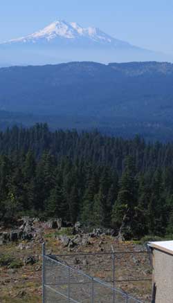 |
The views were worth the climb. The first view was to the south. Mt. Shasta appeared to be within a stone's throw. You can just see the corner of a US Cellular building attached to the US Cell tower. Gwen and I have US Cell phones but unfortunately they don't work well except for a few locations at the lake and it is analog reception rather than digital. Perhaps I should leave a copy of my US Cell bill at the gate to show the service technician how much we are paying to get very poor reception. |
 |
| |
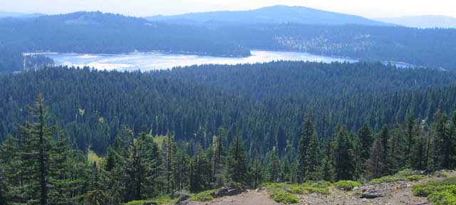
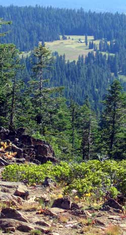
The next photo is of Hyatt Lake. It is a pretty lake, but shallow and only 2.4 miles long at its longest point. Still, many fishermen like to use this lake. When they decide to start letting out the water for irrigation, it will empty quickly because it is so shallow. Hyatt lake is directly east of our tower and southwest of our resort as I said earlier. |
 |
| |
 |
To the northeast of our tower is an old friend-location. It's Buck Prairie meadow and the little cabin and woodshed we found we riding to Buck Prairie. It is also a popular location for nordic skiing during the winter months. |
| |
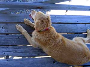
| Morgan does not mind the poor condition of the boards and the height does not seem to bother her like it does me. |
 |
|
 |
| |
 |
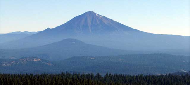
To the north of the tower is our old friend Mt. McLaughlin. Not much snow on this side of the mountain because we are looking at the south side. There is much more snow on the north side.
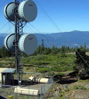
We've also seen pilot rock before. We see it again here by looking to the southwest of the tower. The cables are supporting the huge communications towers. |
| |
Off in the distance you can see Mt. Ashland ski are behind and to the right of the microwave dishes.
Below is our glimpse of Howard Prairie Lake to the northwest of the tower. You can see why this side of the lake does not get good cell phone reception. |
 |
|
 |
| |
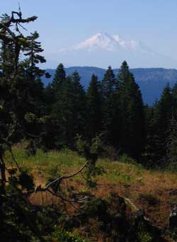 |
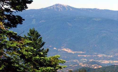
We ride on to just beyond waypoint TM07 and get another view of Mt. Shasta and a much better view of Mt. Ashland (below). The city of Ashland, Oregon is in the valley and Interstate 5 is just beginning the steep climb on the far end of the valley to Siskiyou Summit pass. This is a pass that is dreaded by drivers in the winter. In July and August it is nothing but an annoyance. The pass is located behind the tree in the pilot rock photo at the bottom of this page. |
|
|
 |
| |
From this location just beyond TM07 I made a short video of what Morgan and I were seeing. You view the video by clicking here: Table Mountain Video or you can right click and "save target as" to your computer and view later.
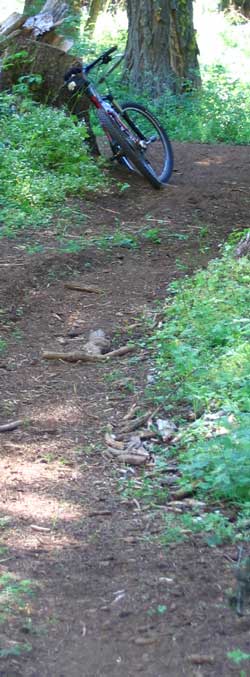
The photo to the right shows that we finally found some "single-track". Single-track is a mountain bike term for a trail wide enough for one bike. It is usually highly prized by mountain bikers.
The final photo below is to the south and slightly to the west showing pilot rock. California is just beyond the rock.
This whole ride was considerably shorter than our usual ride but the climbing was much steeper and longer. In some ways, we thought it was uphill both riding away from the truck and back to it. |
 |
 |
|


