Return to Midwest Journey
Driving Arizona State Route 88
The Apache Trail
Click any Photo to Enlarge
Click your "back" button to return to this page from an enlargement.
The Apache Trail
Click any Photo to Enlarge
Click your "back" button to return to this page from an enlargement.
 This is Arizona State Route 88 also known as the Apache Trail. It's a "short cut" to Apache Junction near Phoenix on the other side of the mountains. |
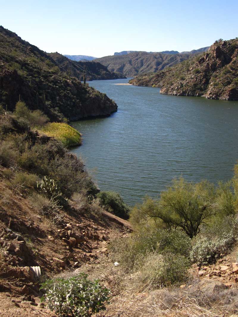 We are greeted with a view of Apache Lake not far from State Route 188 where we are camped. |
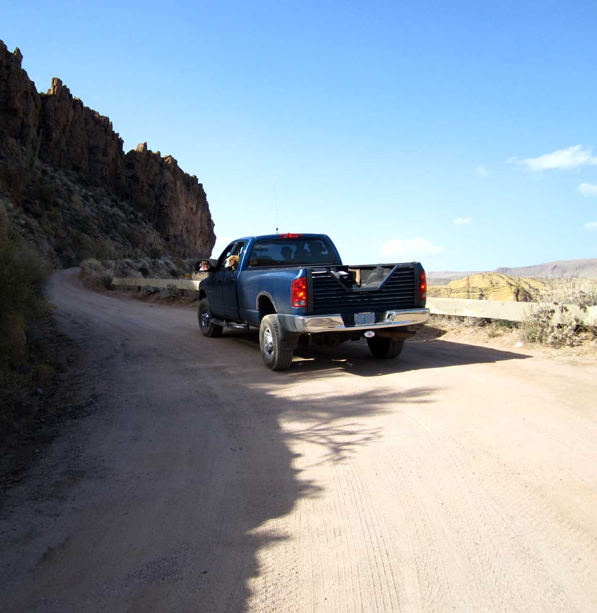
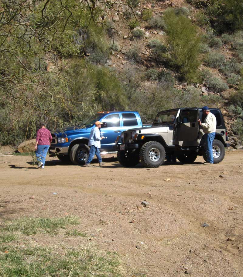 Gwen did the driving because we thought we were going to do some hiking for Geocaches so we brought Morgan along for the hikes. Ralph and Janet are in the Dodge with us while our friends, Jim and Kathy are in the Jeep. |
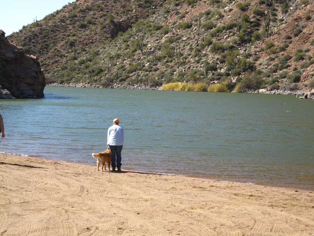 Gwen and Morgan take a walk along the Apache Lake shore. No Morgan, you can't swim, we don't want a wet dog between Ralph and myself. |
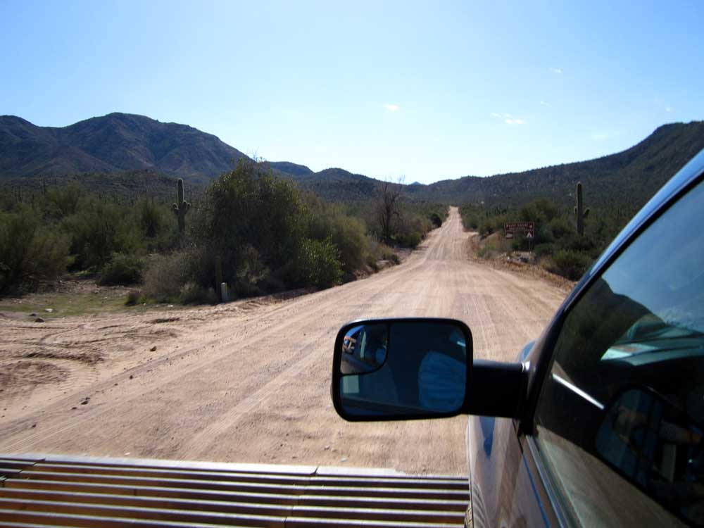 This is the best part of State Route 88, wide and straight but no pavement. |
 This is a nice view of Apache Lake as we approach the Apache Lake Resort and Marina. We had planned for lunch at Torilla Flat but it was another 20 miles and we aren't making good time on this road. |
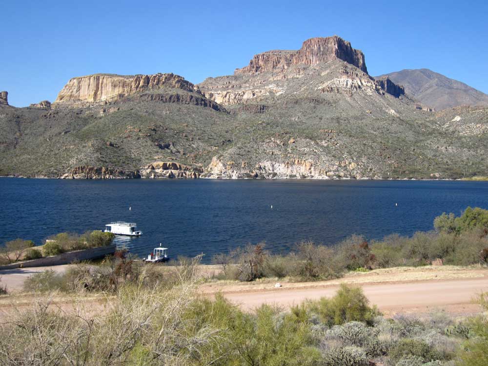 Not many boat in the marina during the winter but what a view. |
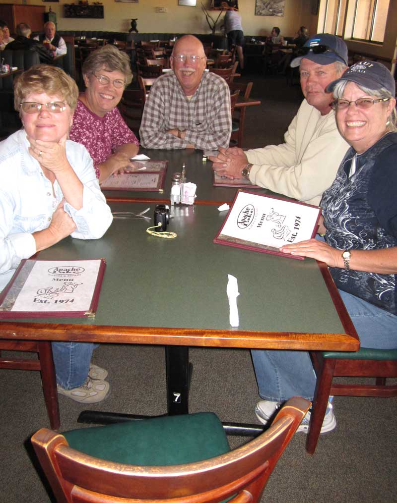 Thank goodness the restaurant was open because we are starving. We should have started much earlier for THIS road. Tortilla Flat is out of reach. |
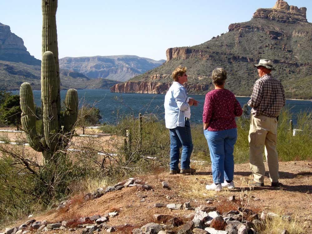 After lunch, Gwen, Janet and Ralph get out to see the view of the lake. |
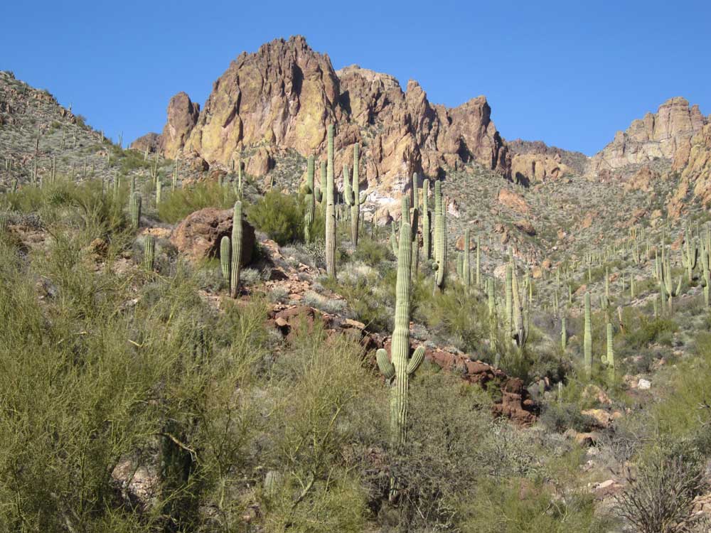 This is typical National Forest in Arizona. It's not like this in Oregon where we come from. |
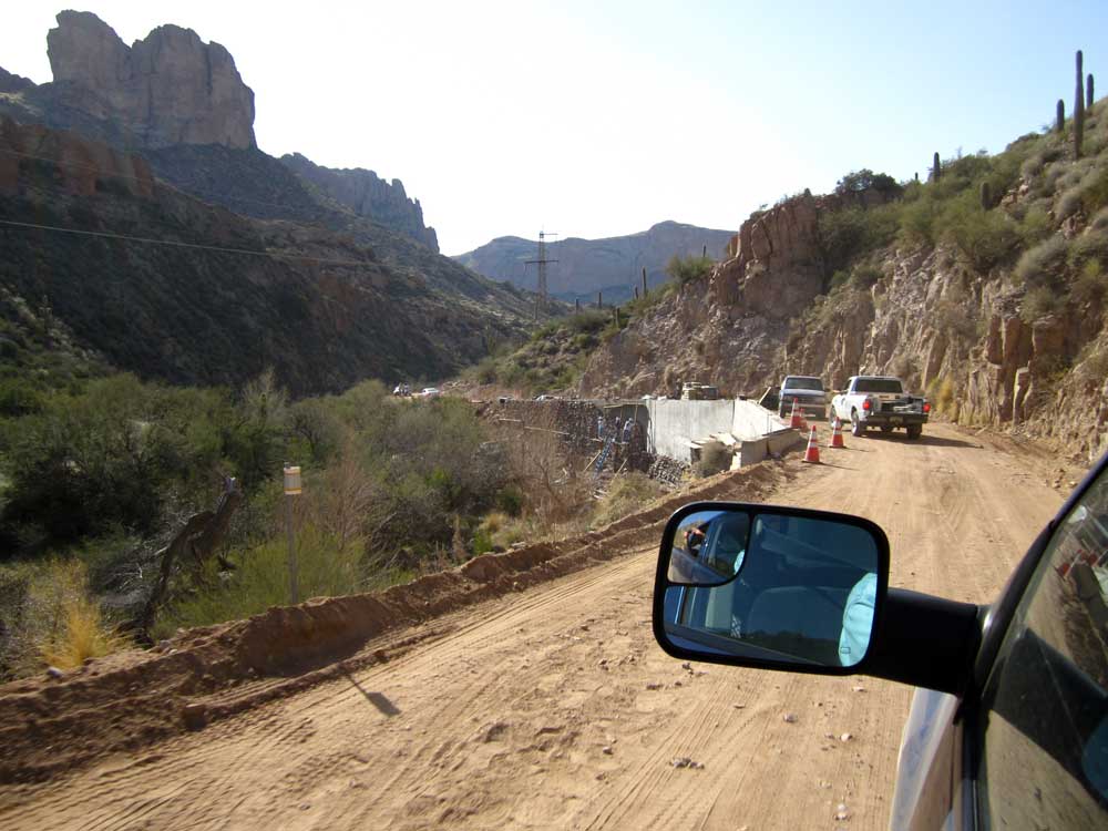
 We were warned at the beginning of the road of road construction and possible delays. Fortunately, no delays this time but a tight squeeze. |
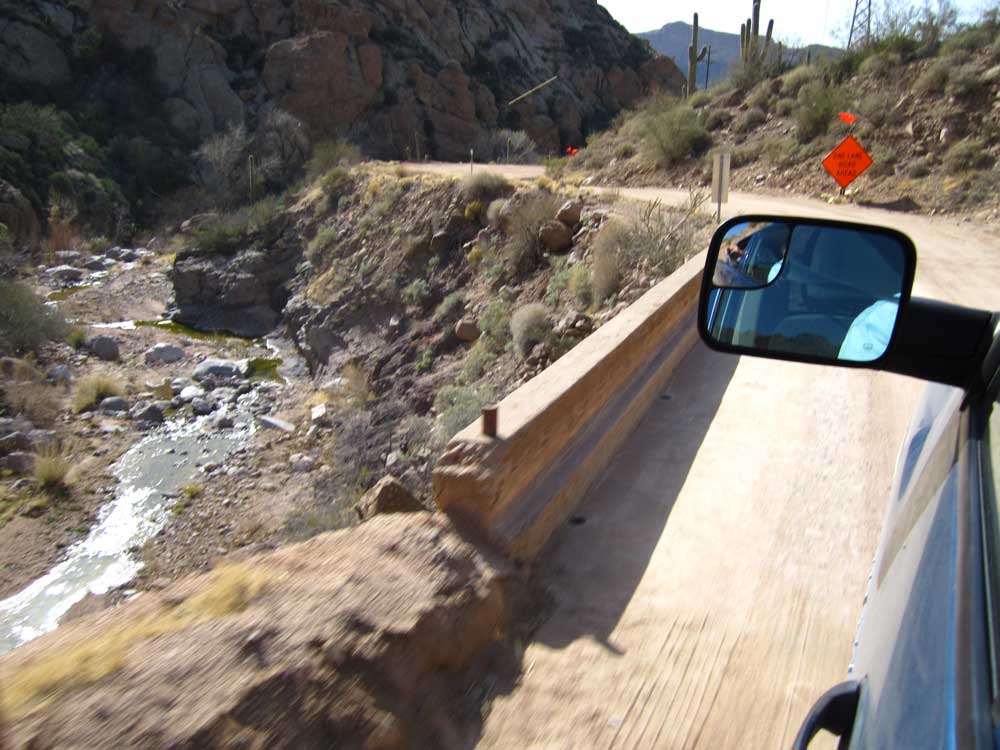
 It looks like some of the road has washed away but the road crews have already made the repair. Now if they would just add pavement. |
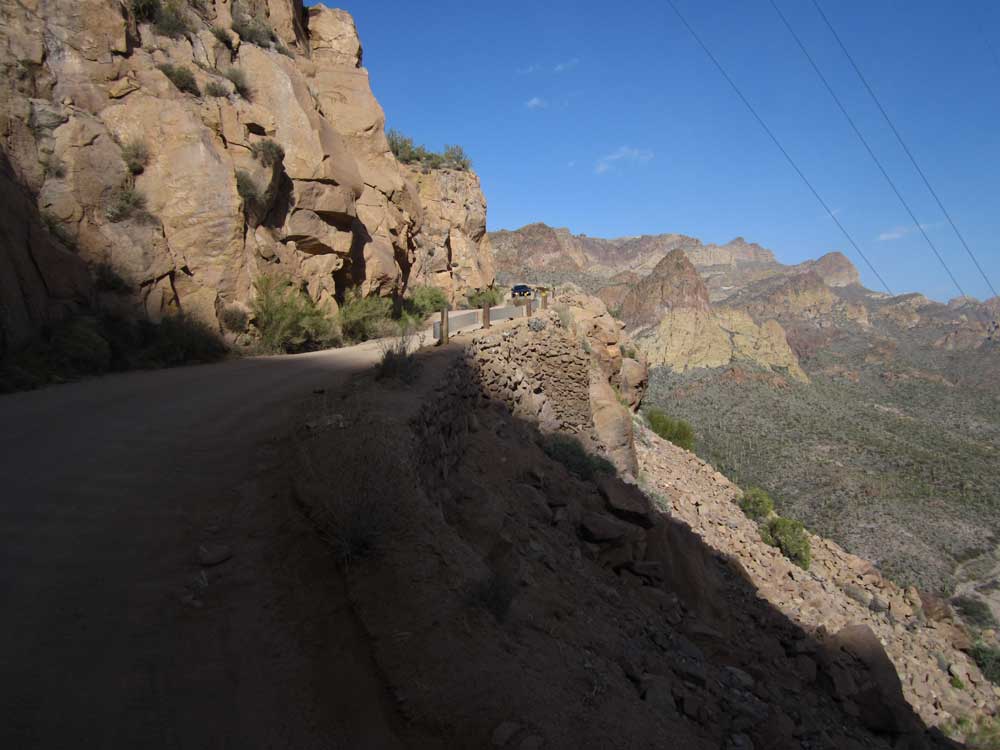
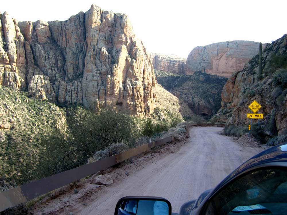
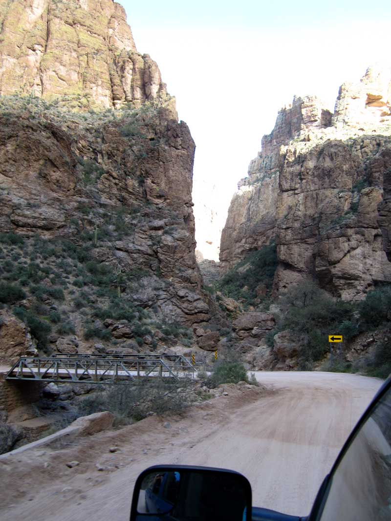
 This is our first view of the "cliff road" and a surprise to us. We were expecting gravel and a nice easy drive to Tortilla Flat, not an adventure driving on the side of a cliff. |
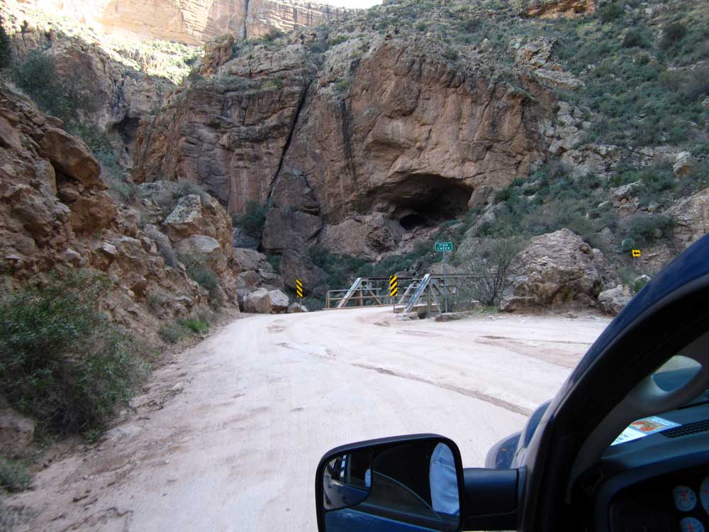 After this one lane bridge we begin the climb up the cliff. It looks like a cave on the far side of the creek. |
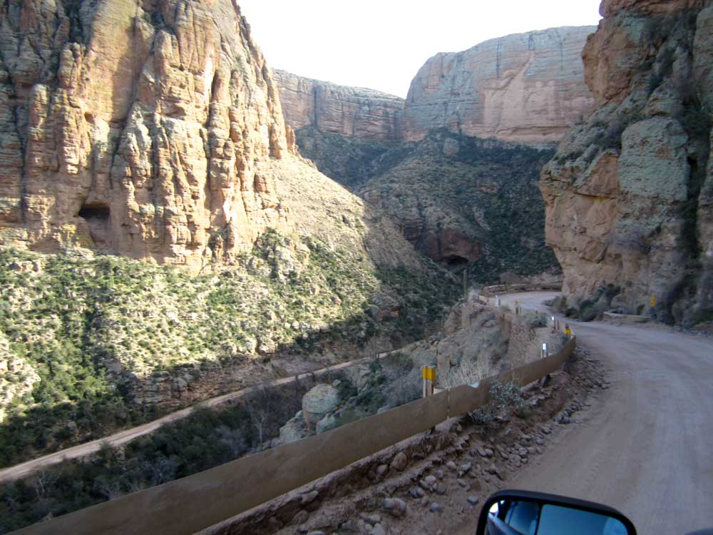
 Yikes! It's a good thing Gwen is driving. What if some traffic comes DOWN the mountain? Where are we suppose to go? Close your eyes, Janet! |
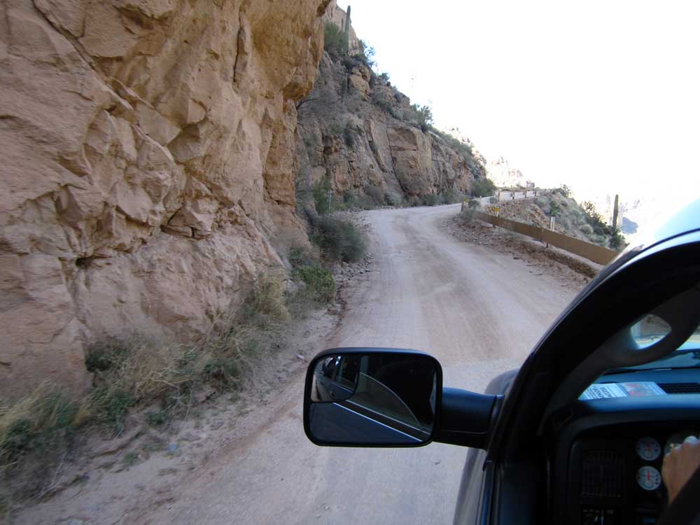
 OK, can you get the car a little CLOSER to the mountain? Everybody take a deep breath. |
 This is getting really serious. Do semi-trucks use this road to deliver supplies to the resort behind us? |
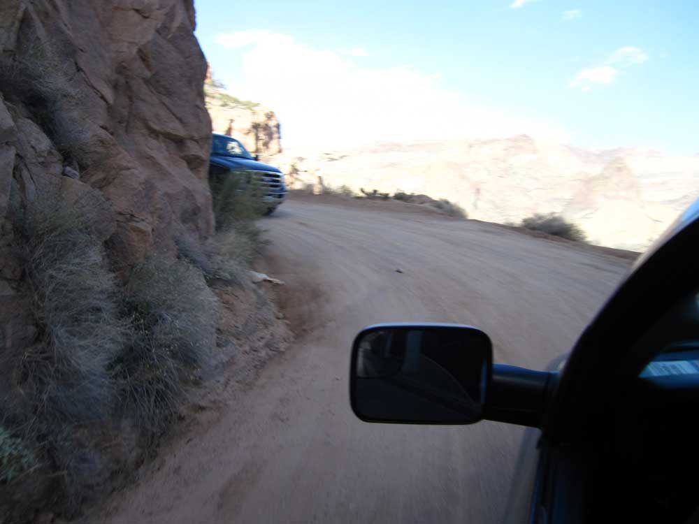 Wait! Stop that truck. We both can't fit around that corner. Man, I'd rather be on the INSIDE, YOU take the outside lane. |
 Maybe I'll WALK the rest of the way. |
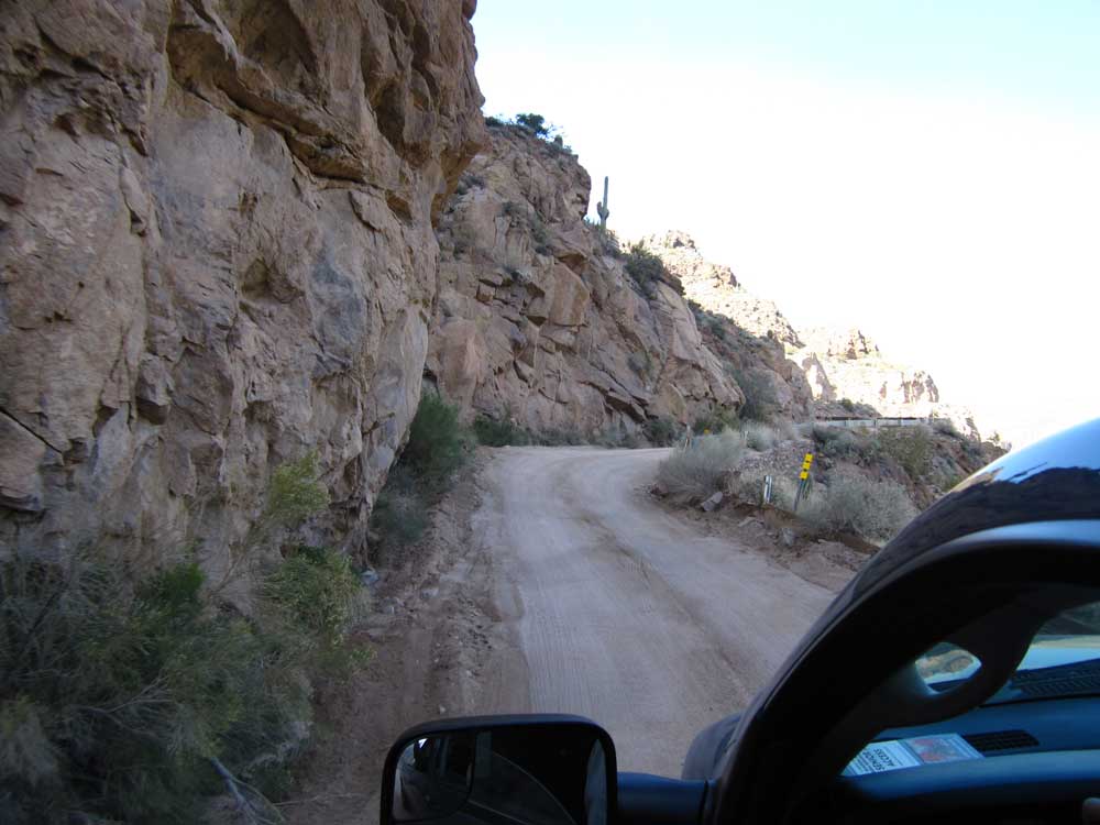
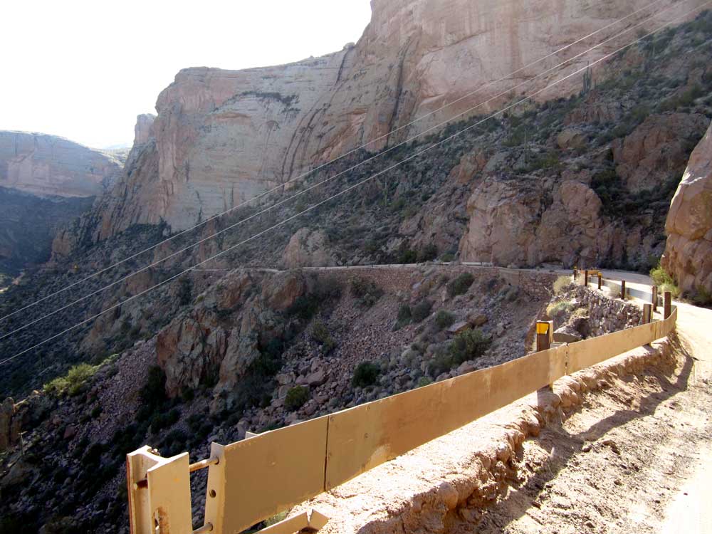 You're kidding with that guard rail, right? I doubt it would stop a bicycle and certainly not our 8,000 lb Dodge. |
 Wait! Wait for me. I was kidding about WALKING. What do you see on the other side of that guard rail? Anything good? |
 Wow! What a view over the guard rail. Humm ... how far down do you think that is? |
 Maybe we should stop and rest for a while, take a deep breath. We can pretend we are taking photos. |
 OK, is the semi-truck coming? Let's keep moving before someone pushes us off this mountain. |
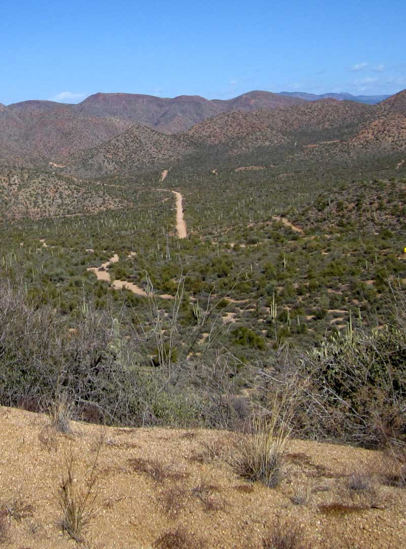
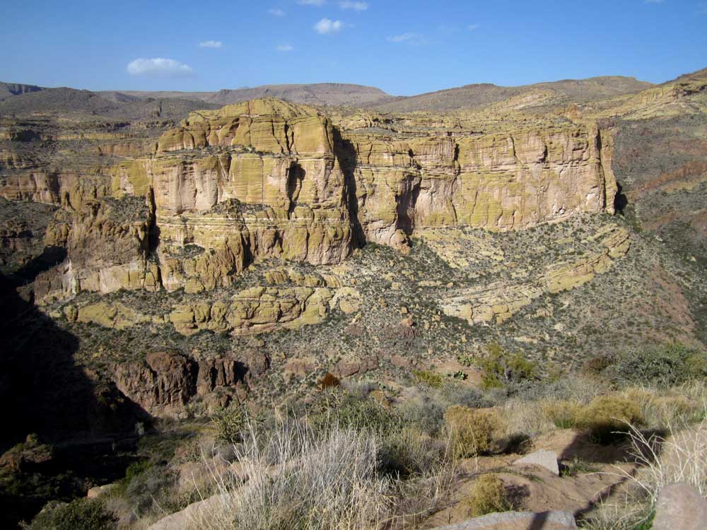
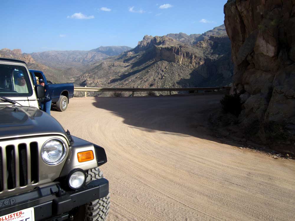
 We've made it to the top. Tortilla Flat is another 14 miles. Let's call it quits here, what do you say? This view better be worth the drive. |
 It looks like you can see forever. I'm glad I don't have to drive that road EVERY day though. |
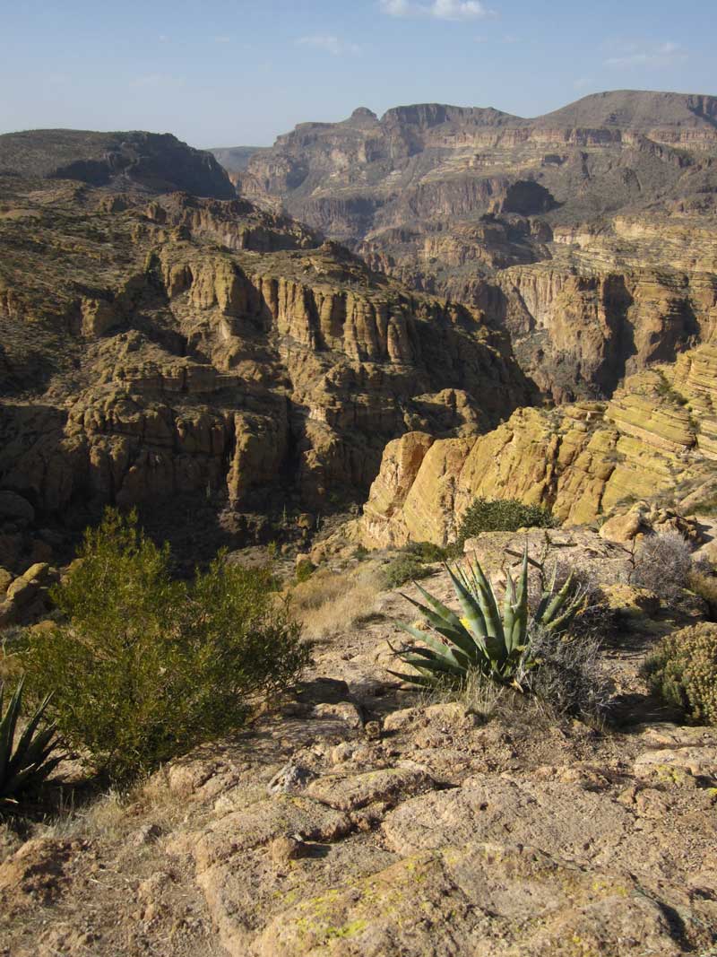 Do you suppose the Apaches are watching us? |
 Let's head home. This time we WILL be against the mountain rather than against the rail. Is that our road down there? |
 We are almost back to our one lane bridge and the bottom of the cliff. |
 There it is. Good driving Gwen. Just a little farther and we are on flat ground again. |
 Nice view of the canyon on the other side of the bridge. |
 What a patient dog, sharing here seat with Ralph and myself. Unfortunately there was very little hiking for Morgan. I took her on leash at the top but we do NOT get close to the edge of the drop off. |
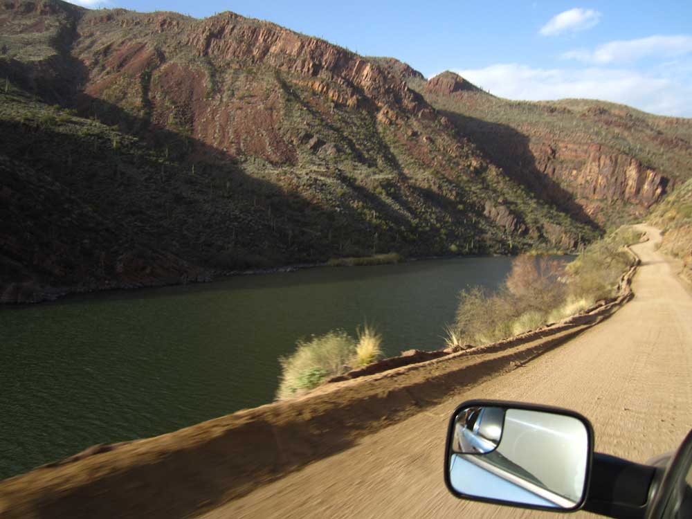 Back to Apache Lake. It's a nice drive along the shore of the lake as we get close to the Theodore Roosevelt Dam. |
