 |
RV Adventure: Insearch of Buck Prairie; Page 3
|
| |
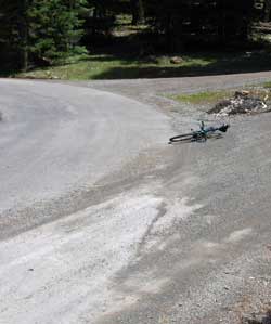
At the BPR10 intersection our gravel road meets a paved road. Dale and I don't like paved roads at all. That means we might meet up with cars and trucks and that really slows us down. Besides, we really enjoy riding the dirt roads and trails. We figured we would be on this pavement for only a very short distance and we were right. |
 |
|
|
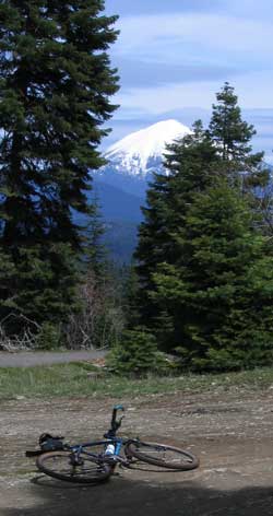 |
While riding toward BPR11, I had to stop Dale to point out the view to the North. Mt. Mcloughlin is covered with snow and it is such a clear day we can even see the rim of Crater Lake and Mt. Thielsen to the North. |
 |
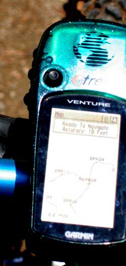
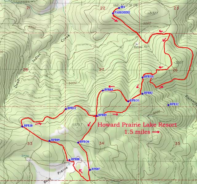
When you check the photo below you will see what Dale sees on his Garmin Venture GPS. He has set it to track our progress. The waypoints we set are showing on the screen as well as the track as we follow the roads. You can see we have made a large loop and are about to rejoin a track we made earlier in the day at BPR05. In the map at the bottom of the page you'll see where we were able to upload this track from the GPS to the National Geographic TOPO map where our exact route is shown. |
 |
| |
 |
As you look at the map, note where we went a bit too far south from BPR07, missing the road and traveling cross-country to BRP08. Also note that when we returned to BPR05 the second time we did not make the left turn back to BPR04, instead we traveled cross-country again back to BPR03. We were following a good road for a short while then the road disappeared and we ended up riding cross-country. Finally note that we did not reach BPR12 at all. Instead we dropped to the main road east of BPR01 and followed a new trail back to the start.
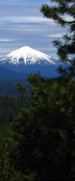
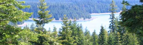
The photo below is a sneak peak we had of our Howard Prairie Lake as we returned along the new trail. |
| |
 |
| |
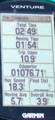
Dale showed me this report from the GPS. It shows that we were on this adventure for nearly 3 hours but only moving for about two hours. I guess that was the time I was waiting for Dale to catch up. The total trip was 10.9 miles with a moving average speed of nearly 6 MPH. Remember, we had to climb some pretty steep hills. |
 |
 |
| |
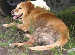 |
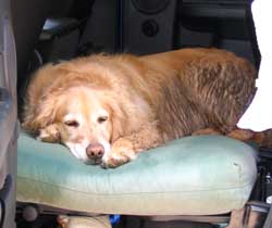
This is where I always wait for Dale while he puts away our gear after the ride. I'm in the shade under the truck. |
|
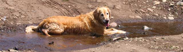
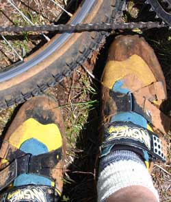
I wasn't the only one who got muddy. Remember all the mud back at Buck Prairie Meadow where Dale had to walk or ride through the mud. He got pretty muddy too.
We always have a routine after our mountain bike rides. It's a routine that I usually like a lot. We stop at Howard Prairie Lake where Dale throws the ball into the lake and I retrieve |
 |
| |
 |
it. I really enjoy this because it gives me a chance to cool off and it cleans my fur of all the mud. Today, however, I'm just going to take a "power-nap" and go swimming a little later. Just leave the truck door open for me and I'll let you know when I'm ready for the swim. |
 |
| Update, July, 2005: Dale has added a short video which will show you part of this ride. Click here to see the 15 second video. The location of the video is on the trail just above and to the right of BPR12. |
Return to Page 2 |
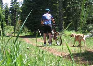
| June 17, 2007: Morgan and I have begun mountain biking again. Today we are looking for a new route. We discover a dirt road to the northeast of the lake. Unfortunately it deadends after about 30 minutes of riding so we head back and try a different road. This time, we had to crosscountry back to the original road. Click the photo for an enlarged view of what we saw today. |
 |
|
| |
|
|


